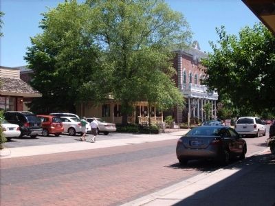
Zionsville in Boone County, Indiana — The American Midwest (Great Lakes)
Lincoln's Stop in Zionsville, Indiana
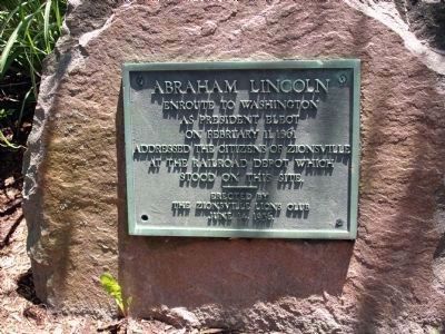
Photographed By Al Wolf, June 14, 2008
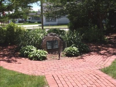
1. Lincoln's Stop in Zionsville, Indiana Marker
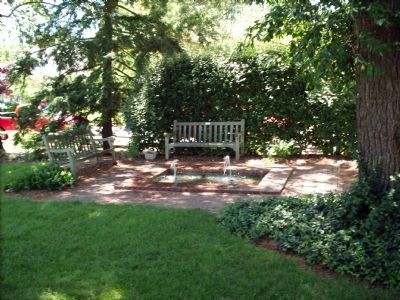
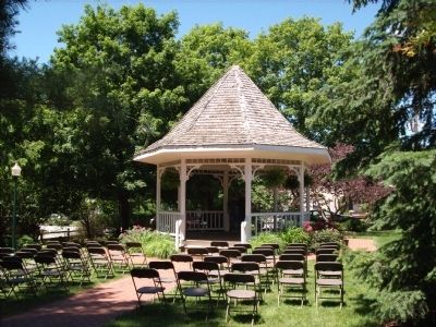
On the South end of Lincoln Park sits this marker. Lincoln Park is a small pocket park. It is one block long and about half a block wide. It has many shade trees and features that allow the community and visitors a place to enjoy themselves and the Town. The park was named to honor Abraham Lincoln's stop in Zionsville on February 11, 1861.
Erected 1956 by Zionsville Lions Club.
Topics and series. This historical marker is listed in these topic lists: Government & Politics • Railroads & Streetcars. In addition, it is included in the Former U.S. Presidents: #16 Abraham Lincoln, and the Lincoln 1861 Inaugural Train Stops series lists. A significant historical year for this entry is 1861.
Location. 39° 57.045′ N, 86° 15.754′ W. Marker is in Zionsville, Indiana, in Boone County. Marker can be reached from the intersection of South First Street and West Oak Street, on the left when traveling north. Inside "Lincoln Park" sits the marker a few steps off the sidewalk. Touch for map. Marker is in this post office area: Zionsville IN 46077, United States of America. Touch for directions.
Other nearby markers. At least 8 other markers are within 5 miles of this marker, measured as the crow flies. Town of Zionsville Founded in 1852 (about 300 feet away, measured in a direct line); Site of the Old Zionsville Inn (about 400 feet away); Patrick H. Sullivan (about 700 feet away); Original Plat Historical Block No. 8 (approx. 0.2 miles away); Michigan Road (approx. 1.3 miles away); Maplelawn Farmstead (approx. 1.6 miles away); Salem Evangelical Lutheran Church (approx. 4.8 miles away); New Augusta (approx. 4.8 miles away). Touch for a list and map of all markers in Zionsville.
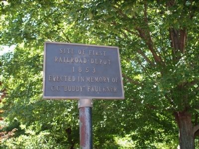
Photographed By Al Wolf, June 14, 2008
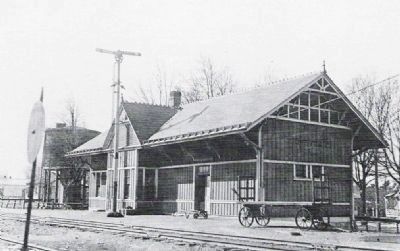
2. Zionsville First Railroad Station Location.
At the North/East corner of Lincoln Park was the "Site of first Railroad Depot 1853. Erected in memory of C. C. "Budy" Faulkner." The first Depot was located in the middle of Cedar Street and South First Street. It had to be moved to correct problems of traffic and passenger protection.
Credits. This page was last revised on November 18, 2019. It was originally submitted on June 14, 2008, by Al Wolf of Veedersburg, Indiana. This page has been viewed 5,368 times since then and 171 times this year. Photos: 1, 2, 3, 4, 5, 6, 7. submitted on June 14, 2008, by Al Wolf of Veedersburg, Indiana. • Kevin W. was the editor who published this page.
