Portland in Sumner County, Tennessee — The American South (East South Central)
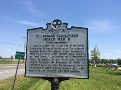
Tennessee Maneuvers World War II
Erected by the Tennessee Historical Commission. (Marker Number 3B 51.)
Topics and series. This historical marker is listed in these topic lists: Science & Medicine • War, World II. In addition, it is included in the Tennessee Historical Commission series list. A significant historical month for this entry is December 1810.
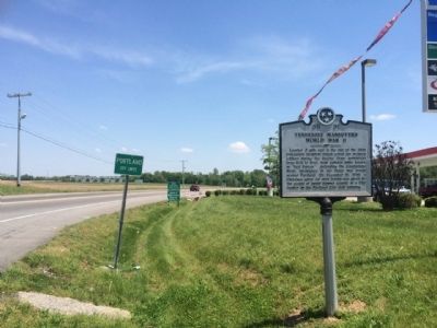
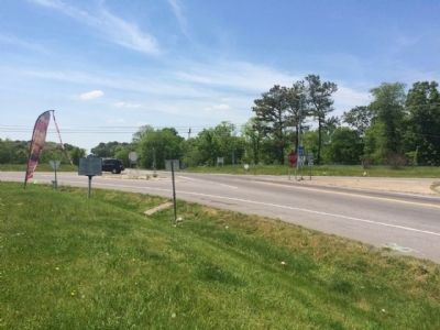
Location. 36° 35.399′ N, 86° 35.538′ W. Marker is in Portland, Tennessee, in Sumner County. Marker is at the intersection of Tennessee Route 52 and U.S. 31W, on the right when traveling east on State Route 52. Touch for map. Marker is at or near this postal address: 5500 Old Highway 31 West, Portland TN 37148, United States of America. Touch for directions.
Other nearby markers. At least 8 other markers are within 4 miles of this marker, measured as the crow flies. Scattersville Community (approx. 1.4 miles away); Duval-Groves House (approx. 2.3 miles away); Camp Trousdale (approx. 3 miles away); Civil War in Tennessee (approx. 3.3 miles away); AmVets Memorial (approx. 3.4 miles away); Triangular Jog (approx. 3.4 miles away in Kentucky); Cold Spring School (approx. 3.6 miles away); Replica of Stone #38 (approx. 3.9 miles away in Kentucky). Touch for a list and map of all markers in Portland.
Credits. This page was last revised on August 27, 2020. It was originally submitted on May 15, 2015, by Mark Hilton of Montgomery, Alabama. This page has been viewed 683 times since then and 34 times this year. Last updated on May 15, 2015, by J. Makali Bruton of Accra, Ghana. Photos: 1, 2, 3, 4. submitted on May 15, 2015, by Mark Hilton of Montgomery, Alabama.


