Barton in Colbert County, Alabama — The American South (East South Central)
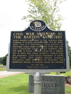
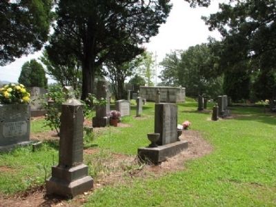
Civil War Skirmish at The Barton Cemetery / Civil War Skirmishes at Barton
(Reverse):
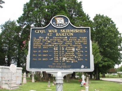
Civil War Skirmishes at Barton
In 1862~63, Confederate forces fought several sharp skirmishes near Barton as they sought to repel or delay Union expeditions invading the Tennessee Valley from the Federal stronghold at Corinth, Mississippi.
Dec. 12, 1862~~~ Col. T.W. Sweeny, USA vs Col. P.D. Roddey, CSA
Apr. 17, 1863 ~~~Gen. G.M. Dodge, USA vs Col. P.D. Roddey, CS
Oct. 20, 1863~~~ Gen. P.J. Osterhaus, USA vs Col. Jeff Forrest, CSA
Oct. 26, 1863 ~~~Gen. P.J. Osterhaus, USA vs Gen. S.D. Lee, CSA
Erected 1997 by Barton Cemetery Board Alabama Historical Association.
Topics and series. This historical marker is listed in these topic lists: Cemeteries & Burial Sites • War, US Civil . In addition, it is included in the Alabama Historical Association series list. A significant historical date for this entry is April 17, 1863.
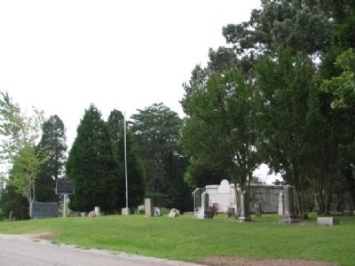
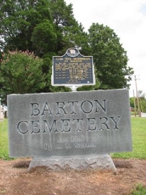
Location. 34° 44.194′ N, 87° 52.943′ W. Marker is in Barton, Alabama, in Colbert County. Marker is at the intersection of Old Lee Highway (County Road 20) and Garner Lane, on the right when traveling west on Old Lee Highway. Touch for map. Marker is in this post office area: Cherokee AL 35616, United States of America. Touch for directions.
Other nearby markers. At least 8 other markers are within 8 miles of this marker, measured as the crow flies. Chickasaw Indian Agency (approx. 3.9 miles away); Cherokee High School (approx. 4˝ miles away); History of Cherokee (approx. 5.3 miles away); Mhoontown Cemetery (approx. 6.9 miles away); Barton Hall (approx. 6.9 miles away); Driven Up The Waters (approx. 7.6 miles away); Trace Travelers (approx. 7.7 miles away); A Chickasaw Planter (approx. 7.7 miles away).
Credits. This page was last revised on July 17, 2020. It was originally submitted on March 25, 2010, by Sandra Hughes Tidwell of Killen, Alabama, USA. This page has been viewed 2,928 times since then and 84 times this year. Last updated on May 16, 2015, by J. Makali Bruton of Accra, Ghana. Photos: 1, 2, 3, 4, 5. submitted on March 25, 2010, by Sandra Hughes Tidwell of Killen, Alabama, USA. • Bernard Fisher was the editor who published this page.
