Bowling Green in Warren County, Kentucky — The American South (East South Central)
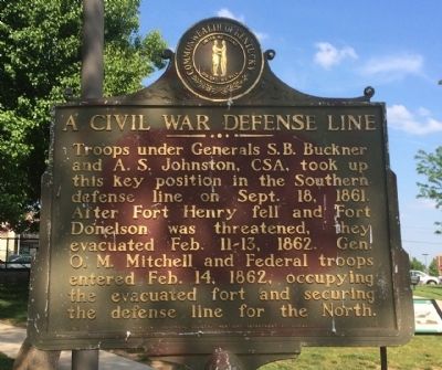
A Civil War Defense Line
Erected 1962 by the Kentucky Historical Society, Kentucky Department of Highways. (Marker Number 538.)
Topics and series. This historical marker is listed in this topic list: War, US Civil. In addition, it is included in the Kentucky Historical Society series list. A significant historical date for this entry is February 11, 1775.
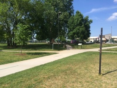
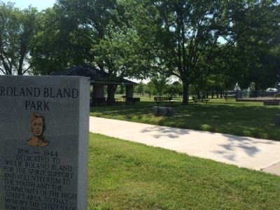
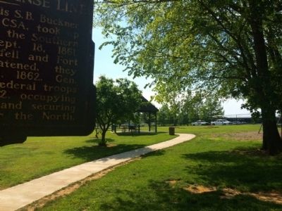
Location. 36° 59.946′ N, 86° 26.238′ W. Marker is in Bowling Green, Kentucky, in Warren County. Marker can be reached from the intersection of Center Street and East 4th Avenue. Marker is located within Roland Bland Park near the gazebo and children's playground. Touch for map. Marker is at or near this postal address: 400 Center Street, Bowling Green KY 42101, United States of America. Touch for directions.
Other nearby markers. At least 8 other markers are within walking distance of this marker. Civil War Rifle Trench (here, next to this marker); Ernest Hogan (within shouting distance of this marker); Louisville & Nashville Railroad Depot (within shouting distance of this marker); Presbyterian Church (approx. 0.2 miles away); College Street Commercial Development (approx. 0.2 miles away); Residential Architecture (approx. 0.2 miles away); An African American Neighborhood (approx. 0.2 miles away); Standard Filling Station No. 1 (approx. ¼ mile away). Touch for a list and map of all markers in Bowling Green.
Credits. This page was last revised on June 16, 2016. It was originally submitted on May 16, 2015, by Mark Hilton of Montgomery, Alabama. This page has been viewed 548 times since then and 26 times this year. Photos: 1, 2, 3, 4. submitted on May 16, 2015, by Mark Hilton of Montgomery, Alabama.


