Sherburne in Fleming County, Kentucky — The American South (East South Central)
Sherburne Bridge
Inscription.
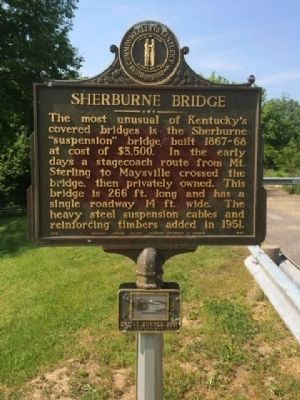
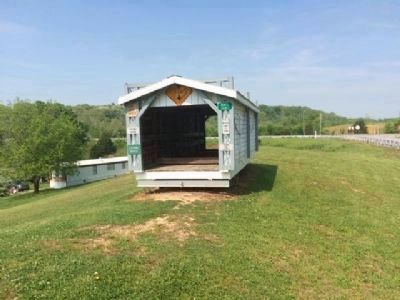
The most unusual of Kentucky's covered bridges is the Sherburne "suspension" bridge, built 1867-68 at a cost of $3,500. In the early days a stagecoach route from Mt. Sterling to Maysville crossed the bridge, then privately owned. This bridge is 266 ft. long and has a single roadway 14 ft. wide. The heavy steel suspension cables and reinforcing timbers added in 1951.
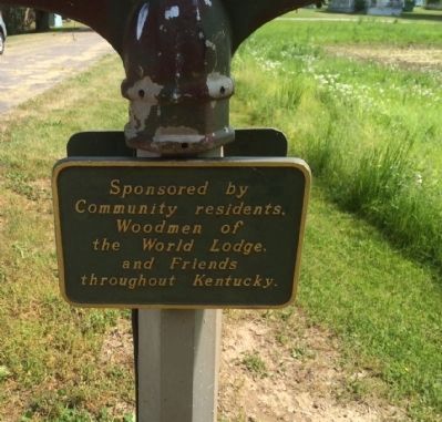
Erected 1972 by the Kentucky Historical Society, Kentucky Department of Highways. (Marker Number 1438.)
Topics and series. This historical marker is listed in this topic list: Bridges & Viaducts. In addition, it is included in the Kentucky Historical Society series list. A significant historical year for this entry is 1951.
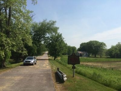
Location. 38° 16.825′ N, 83° 48.215′ W. Marker is in Sherburne, Kentucky, in Fleming County. Marker is on Old State Highway 11, 0.1 miles south of Old State Highway 1325, on the left when traveling south. Touch for map. Marker is at or near this postal address: 136 Stevens Rd, Flemingsburg KY 41041, United States of America. Touch for directions.
Other nearby markers. At least 8 other markers are within 10 miles of this marker, measured as the crow flies. Joe Creason (approx. 3.6 miles away); Upper Blue Licks (approx. 6.9 miles away); Grange City Covered Bridge (approx. 8.4 miles away); Henry Tureman Allen (approx. 8.7 miles away); Private Ambers Sapp (approx. 9.4 miles away); Iwo Jima Hero (approx. 9.4 miles away); Gen. Hood Birthplace (approx. 9.6 miles away); Bath County War Memorial (approx. 9.6 miles away).
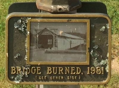
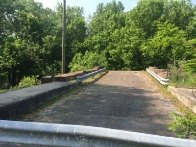
More about this marker. Bridge lost to arson 9 years after marker placed.
Also see . . .
1. The Lost Sherburn Covered bridge. History in Your Own Backyard website entry (Submitted on May 5, 2023, by Larry Gertner of New York, New York.)
2. Facts about bridge from Bridgehunter.com. (Submitted on May 20, 2015, by Mark Hilton of Montgomery, Alabama.)
Credits. This page was last revised on May 5, 2023. It was originally submitted on May 20, 2015, by Mark Hilton of Montgomery, Alabama. This page has been viewed 519 times since then and 28 times this year. Photos: 1, 2, 3, 4, 5, 6. submitted on May 20, 2015, by Mark Hilton of Montgomery, Alabama.
