Cahaba in Dallas County, Alabama — The American South (East South Central)
Footprint of a Church
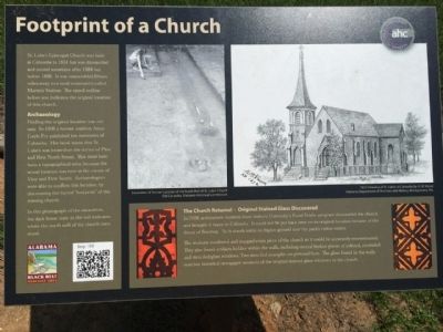
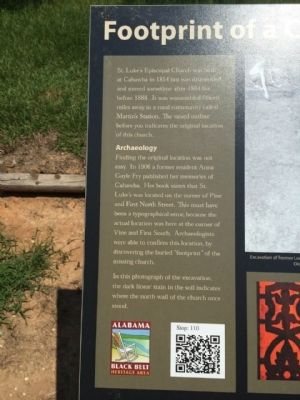
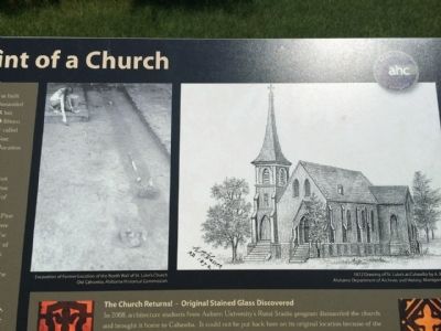
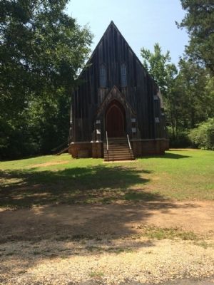
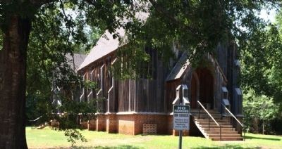
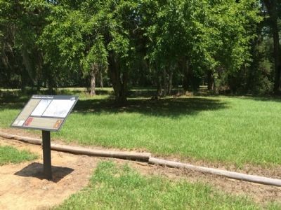
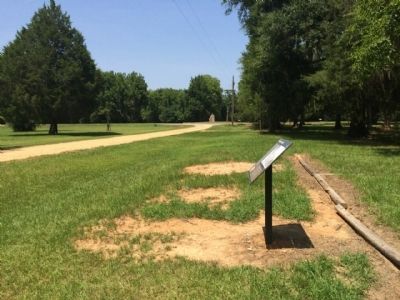
St. Luke's Episcopal Church was built at Cahawba in 1854 but was dismantled and moved sometime after 1884 but before 1888. It was reassembled fifteen miles away in a rural community called Martin's Station. The raised outline before you indicates the original location of this church.
Archeology
Finding the original location was not easy. In 1906 a former resident Anna Gayle Fry published her memories of Cahawba. Her book states that St. Luke's was located on the corner of Pine and First North Street. This must have been a typographical error, because the actual location was here at the corner of Vine and First South. Archaeologists were able to confirm this location, by discovering the buried "footprint" of the missing church.
In this photograph of the excavation, the dark linear stain in the soil indicates where the north wall of the church once stood.
The Church Returns! - Original Stained Glass Discovered
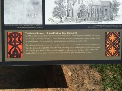
In 2008, architecture students from Auburn University's Rural Studio program dismantled the church and brought it home to Cahawba. It could not be put back here on its original location because of the threat of flooding. So it stands today on higher ground near the park's visitor center.
The students numbered and mapped every piece of the church so it could be accurately reconstructed. They also found artifacts hidden within the walls, including several broken pieces of colored, enameled and stenciled glass windows. Two stenciled examples are pictured here. The glass found in the walls matches historical newspaper accounts of the original stained glass windows in the church.
Erected 2013 by the Alabama Historical Commission.
Topics and series. This historical marker is listed in these topic lists: Churches & Religion • Notable Buildings • Settlements & Settlers. In addition, it is included in the Alabama Historical Commission series list. A significant historical year for this entry is 1854.
Location. 32° 18.996′ N, 87° 5.816′ W. Marker is in Cahaba, Alabama, in Dallas County. Marker is on Vine Street, 0.1 miles south of Capitol Avenue, on the left when traveling south. Located within the Old Cahawba Archaeological Park. Touch for map. Marker is at or near this postal address: 190 Vine Street, Orrville AL 36767, United States of America. Touch for directions.
Other nearby markers. At least 8 other markers are within walking distance of this marker. Cahawba - circa 1500 (a few steps from this marker); Vine Street (about 300 feet away, measured in a direct line); The Mound at Old Cahawba Archaeological Park (about 300 feet away); Cahaba First State Capital (about 300 feet away); Civil War Prison (about 300 feet away); Castle Morgan & Jesse Hawes (about 300 feet away); Major Hiram Solon Hanchett (about 300 feet away); A Prison Chimney? (about 300 feet away). Touch for a list and map of all markers in Cahaba.
Also see . . . Wikipedia entry about church. (Submitted on August 3, 2014, by Mark Hilton of Montgomery, Alabama.)
Credits. This page was last revised on November 14, 2020. It was originally submitted on August 3, 2014, by Mark Hilton of Montgomery, Alabama. This page has been viewed 750 times since then and 25 times this year. Last updated on May 20, 2015, by J. Makali Bruton of Accra, Ghana. Photos: 1, 2, 3, 4, 5, 6, 7, 8. submitted on August 3, 2014, by Mark Hilton of Montgomery, Alabama.
