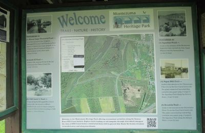
Montezuma in Cayuga County, New York — The American Northeast (Mid-Atlantic)
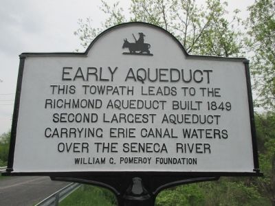
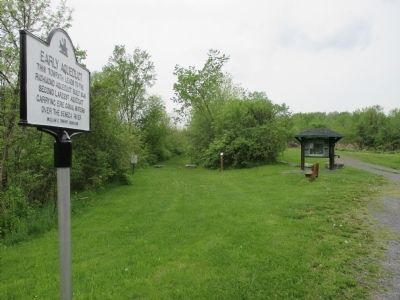
Early Aqueduct
This towpath leads to the
Richmond Aqueduct built 1849
second largest aqueduct
carrying Erie Canal waters
over the Seneca River.
Erected 2011 by William G. Pomeroy Foundation.
Topics and series. This historical marker is listed in this topic list: Waterways & Vessels. In addition, it is included in the Erie Canal, and the William G. Pomeroy Foundation series lists. A significant historical year for this entry is 1849.
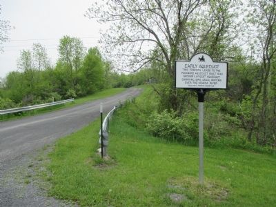
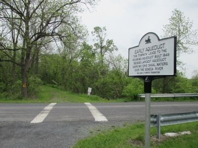
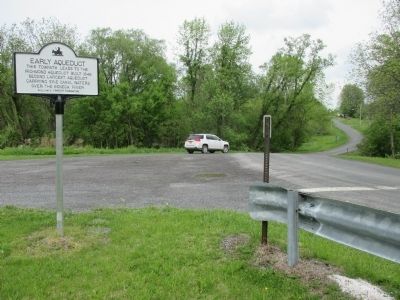
Location. 43° 0.673′ N, 76° 42.615′ W. Marker is in Montezuma, New York, in Cayuga County. Marker is on Chapman Road, 0.3 miles west of High Street, on the right when traveling south. Touch for map. Marker is in this post office area: Montezuma NY 13117, United States of America. Touch for directions.
Other nearby markers. At least 8 other markers are within walking distance of this marker. A Landmark and Pride in Our Community (approx. 0.3 miles away); Montezuma Heritage Park (approx. 0.3 miles away); Opened in 1828 (approx. 0.3 miles away); Early Cemetery (approx. 0.4 miles away); Salt Springs (approx. 0.4 miles away); Old Erie Canal (approx. 0.4 miles away); Seneca River Crossing Canals Historic District (approx. 0.4 miles away); Montezuma (approx. 0.4 miles away). Touch for a list and map of all markers in Montezuma.
Also see . . . Old Richmond Aqueduct - Tug 44. Great pictures of the remains of the aqueduct. (Submitted on May 22, 2015, by Anton Schwarzmueller of Wilson, New York.)
Photographed By Anton Schwarzmueller, May 16, 2015
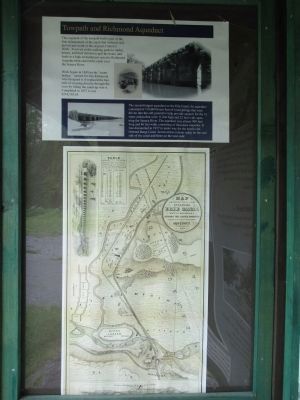
6. Kiosk Towpath & Aqueduct Information
Towpath and Richmond Aqueduct. This segment of the towpath trail is part of the first enlargement of the canal that widened and moved just south of the original Clinton's Ditch. It served as the walking path for mules, horses, and their drivers to pull the boats, and leads to a high embankment onto the Richmond Aqueduct that carried the canal over the Seneca River.
Work began on 1849 on the "water bridge," named for Van Richmond who designed it. It replaced the hazards of crossing directly through the river by lifting the canal up over it. Completed in 1857 it cost $216,510.63.
The second largest aqueduct on the Erie Canal, the aqueduct consisted of 110,000 linear feet of wood pilings that were driven into the soft ground to help provide support for the 31 stone arches that were 11 feet high and 22 feet wide spanning the Seneca River. The aqueduct was almost 900 feet long and 86 feet wide, consisting of limestone masonry. It was dismantled on 1917 to make way for the newly constructed Barge Canal. Seven arches remain today on the east side of the canal and three on the west side.
Credits. This page was last revised on June 16, 2016. It was originally submitted on May 22, 2015, by Anton Schwarzmueller of Wilson, New York. This page has been viewed 408 times since then and 15 times this year. Photos: 1, 2, 3, 4, 5, 6, 7. submitted on May 22, 2015, by Anton Schwarzmueller of Wilson, New York.
