Columbia in Adair County, Kentucky — The American South (East South Central)
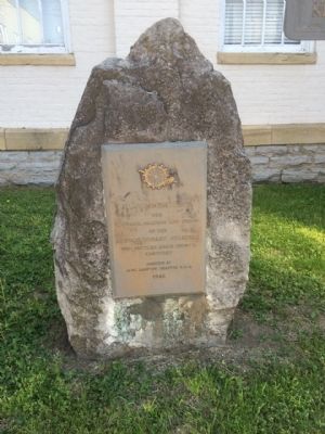
Adair County Revolutionary War Memorial
the
Courage, Bravery and Vision
of the
Revolutionary Soldiers
who settled Adair County,
Kentucky
Erected by
Jane Lampton Chapter D.A.R.
1942
Erected 1942 by the Jane Lampton Chapter D.A.R.
Topics and series. This memorial is listed in this topic list: War, US Revolutionary. In addition, it is included in the Daughters of the American Revolution series list.
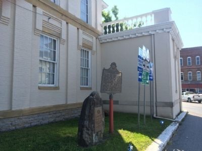
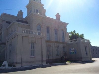
Location. 37° 6.166′ N, 85° 18.372′ W. Marker is in Columbia, Kentucky, in Adair County. Memorial is at the intersection of Public Square and Burkesville Street (Kentucky Route 80), on the left when traveling south on Public Square. Touch for map. Marker is at or near this postal address: 424 Public Square, Columbia KY 42728, United States of America. Touch for directions.
Other nearby markers. At least 8 other markers are within walking distance of this marker. Confederate Raids (here, next to this marker); Adair County Courthouse (a few steps from this marker); Col. Frank L. Wolford (within shouting distance of this marker); Jane Lampton Home (within shouting distance of this marker); Frank Lane Wolford (about 700 feet away, measured in a direct line); Columbia-Union Presbyterian Church (approx. 0.2 miles away); Daniel Trabue (1760-1840) (approx. ¼ mile away); Male and Female High School Site / Student Parking in the 1850s (approx. ¼ mile away). Touch for a list and map of all markers in Columbia.
Credits. This page was last revised on October 5, 2020. It was originally submitted on May 24, 2015, by Mark Hilton of Montgomery, Alabama. This page has been viewed 506 times since then and 29 times this year. Photos: 1, 2, 3, 4. submitted on May 24, 2015, by Mark Hilton of Montgomery, Alabama.


