Brutus in Cayuga County, New York — The American Northeast (Mid-Atlantic)
Conduit For Ideas
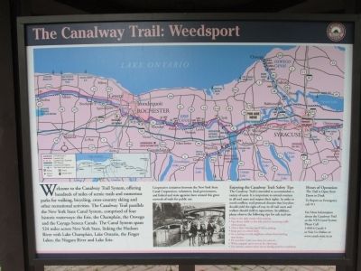
The Canalway Trail
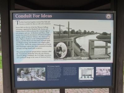
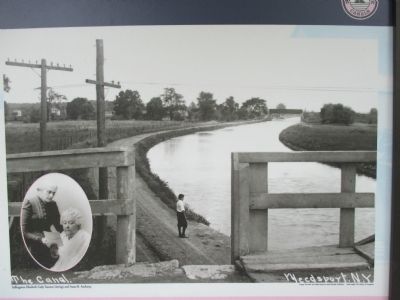
Seneca Falls was the site of the first Women's Sufferage convention, organized by Elizabeth Cady Stanton and Lucretia Mott in 1848 to advocate for woman's right to own property and vote. In Rochester and Ithaca, abolitionists were stirred by the rhetoric of Frederick Douglass and the exploits of Harriet Tubman, who aided runaway slaves' flights to freedom via the Underground Railroad. Palmyra and Port Byron were the homes of Joseph Smith and Brigham Young, who founded a new religion called Mormonism. And in the utopian communities of Oneida and Chautauqua, radical ideas about communal ownership and open marriage found ready acceptance.
This period of social and spiritual reform, sometimes called the "Second Great Awakening" led to the end of slavery, universal sufferage, Prohibition, the Civil Rights movement, and a profound change in the course of American History.
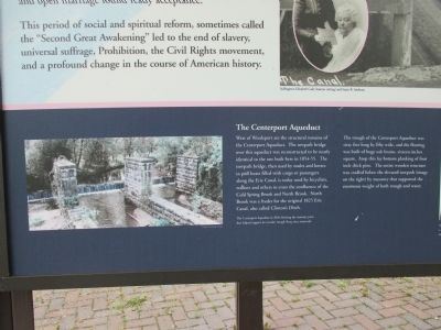
The Centreport Aqueduct. West of Weedsport are the structural remains of the Centreport Aqueduct. The towpath bridge over this aqueduct was reconstructed to be nearly identical to the one built here in 1854-55. The towpath bridge, then used by mules and horses to pull boats filled with cargo or passengers along the Erie Canal, is today used by bicyclists, walkers and others to cross the confluence of the Cold Spring Brook and North Brook. North Brook was a feeder for the original 1825 Erie Canal, also called Clinton's Ditch.
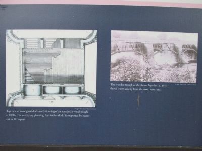
The trough of the Centreport Aqueduct was sixty feet long by fifty wide, and the flooring was built of huge oak beams, sixteen inches square. Atop this lay bottom planking of four inch thick pine. The entire wooden structure was cradled below the elevated towpath (image on the right) by masonry that supported the enormous weight of both trough and water,
Erected by New York State Canals.
Topics and series. This historical marker is listed in these topic lists: Abolition & Underground RR • Civil Rights • Communications • Waterways & Vessels. In addition, it is included in the Elizabeth Cady Stanton, and the Erie Canal series lists. A significant historical year for this entry is 1848.
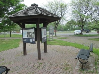
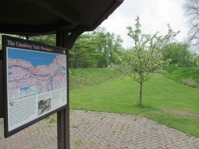
Location. 43° 2.583′ N, 76° 34.563′ W. Marker is in Brutus, New York, in Cayuga County. Marker can be reached from the intersection of New York State Route 31 and West Brutus Street. Marker is at a parking area on the south side of NY route 31 across from West Brutus Road. Marker is on a tri-panel kiosk, facing the south embankment of the old Erie Canal. Touch for map. Marker is in this post office area: Weedsport NY 13166, United States of America. Touch for directions.
Other nearby markers. At least 8 other markers are within walking distance of this marker. The Boom Years (here, next to this marker); The Erie Canal (a few steps from this marker); a different marker also named The Erie Canal (a few steps from this marker); God's Acre (approx. 0.6 miles away); Weed's Basin (approx. ¾ mile away); Town of Brutus (approx. ¾ mile away); First Baptist Church of Weedsport (approx. ¾ mile away); Firehouse (approx. 0.8 miles away). Touch for a list and map of all markers in Brutus.
Photographed By Anton Schwarzmueller, May 16, 2015
5. Bottom Right Images
"Image: New York State Archives. Top view of an original draftsman's drawing of an aqueduct's wood trough, c. 1850s. The overlaying planking, four inches thick, is supported by beams cut to 16" square."
"Image: New York State Archives. The wooden trough of the Rome Aqueduct c. 1900 shows water leaking from the wood structure."
"Image: New York State Archives. The wooden trough of the Rome Aqueduct c. 1900 shows water leaking from the wood structure."
Credits. This page was last revised on June 16, 2016. It was originally submitted on May 24, 2015, by Anton Schwarzmueller of Wilson, New York. This page has been viewed 458 times since then and 12 times this year. Photos: 1, 2, 3, 4, 5, 6, 7, 8. submitted on May 24, 2015, by Anton Schwarzmueller of Wilson, New York.
