Selma in Dallas County, Alabama — The American South (East South Central)
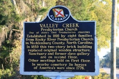
Valley Creek Presbyterian Church
One of state’s first Presbyterian churches
Established in 1816 by eight families from Rocky River Presbyterian Church in Mecklenburg County, North Carolina.
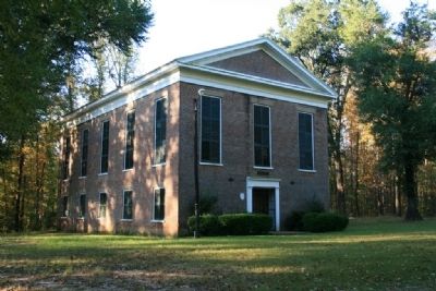
In 1859 this two-story brick building replaced original wooden structure. Sanctuary and former slave gallery are on second floor. Other meetings held on first floor.
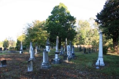
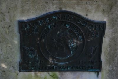
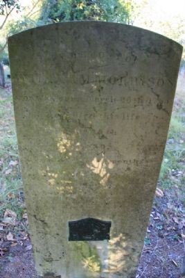
In nearby cemetery lie heroes of America’s wars since 1776.
Erected 1965 by Alabama Historical Association.
Topics and series. This historical marker is listed in these topic lists: African Americans • Cemeteries & Burial Sites • Churches & Religion. In addition, it is included in the Alabama Historical Association series list. A significant historical year for this entry is 1816.
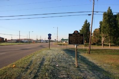
Location. 32° 27.018′ N, 87° 0.84′ W. Marker is in Selma, Alabama, in Dallas County. Marker is at the intersection of State Highway 22 and County Road 65, on the right when traveling south on State Highway 22. Touch for map. Marker is in this post office area: Selma AL 36701, United States of America. Touch for directions.
Other nearby markers. At least 8 other markers are within 3 miles of this marker, measured as the crow flies. Chalmers Attacks (approx. 1.2 miles away); Defense of Selma Memorial (approx. 1.6 miles away); Redoubt No. 15 (approx. 1.9 miles away); R.B. Hudson High School (approx. 2.2 miles away); Tabernacle Baptist Church (approx. 2.2 miles away); a different marker also named Tabernacle Baptist Church (approx. 2.2 miles away); A Grassroots Movement (approx. 2½ miles away); Turning Point (approx. 2½ miles away). Touch for a list and map of all markers in Selma.
Credits. This page was last revised on August 5, 2019. It was originally submitted on November 6, 2010, by Timothy Carr of Birmingham, Alabama. This page has been viewed 1,364 times since then and 44 times this year. Last updated on May 24, 2015, by J. Makali Bruton of Accra, Ghana. Photos: 1, 2, 3, 4, 5, 6. submitted on November 6, 2010, by Timothy Carr of Birmingham, Alabama. • Bill Pfingsten was the editor who published this page.
