Brantford in Brant County, Ontario — Central Canada (North America)
Mohawk Village
Le village des Mohawks
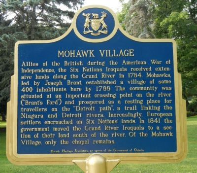
Allies of the British during the American War of Independence, the Six Nations Iroquois received extensive lands along the Grand River in 1784. Mohawks, led by Joseph Brant, established a village of some 400 individuals here by 1788. The community was situated at an important crossing point on the river ("Brant's Ford") and prospered as a resting place for travellers on the "Detroit path", a trail linking the Niagara and Detroit Rivers. Increasingly European settlers encroached on Six Nations' lands. In 1841 the government moved the Grand River Iroquois to a section of their land south of the river. Of the Mohawk Village, only the chapel remains.
French:
Erected by Ontario Heritage Foundation, an agency of the Government of Ontario.
Topics. This historical marker is listed in these topic lists: Native Americans • Settlements & Settlers. A significant historical year for this entry is 1784.
Location. 43° 7.482′ N, 80° 14.113′ W. Marker is in Brantford, Ontario, in Brant County. Marker is on Mohawk Street close to Morrison Road, on the left when traveling west. Touch for map. Marker is at or near this postal address: 301 Mohawk Street, Brantford ON N3S 2X2, Canada. Touch for directions.
Other nearby markers. At least 8 other markers are within 3 kilometers of this marker, measured as the crow flies. Her Majesty’s Chapel of the Mohawks (within shouting distance of this marker); St. Paul’s 1785 (within shouting distance of this marker); Tomb of THAYENDANEGEA (within shouting distance of this marker); The Mohawk Institute (approx. 0.6 kilometers away); John Hicks Whale (approx. 1.5 kilometers away); Rev. Peter Jones (approx. 2.1 kilometers away); Royal Victoria Place (approx. 2.8 kilometers away); Park Baptist Church (approx. 2.8 kilometers away). Touch for a list and map of all markers in Brantford.
Credits. This page was last revised on August 9, 2017. It was originally submitted on May 25, 2015, by Barry Swackhamer of Brentwood, California. This page has been viewed 744 times since then and 57 times this year. Photos: 1, 2, 3. submitted on May 25, 2015, by Barry Swackhamer of Brentwood, California. • Andrew Ruppenstein was the editor who published this page.


