Paramus in Bergen County, New Jersey — The American Northeast (Mid-Atlantic)
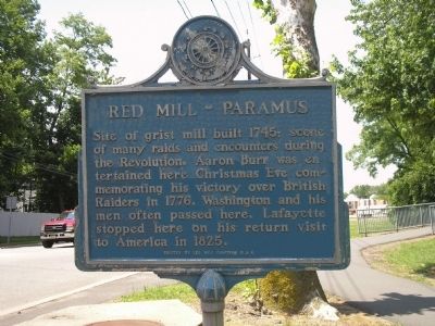
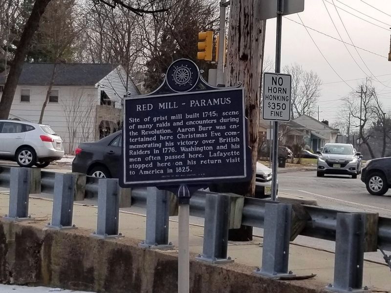
Red Mill – Paramus
Erected by Daughters of the American Revolution.
Topics and series. This historical marker is listed in these topic lists: Colonial Era • Industry & Commerce • War, US Revolutionary. In addition, it is included in the Daughters of the American Revolution, and the Lafayette’s Farewell Tour series lists. A significant historical year for this entry is 1745.
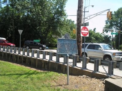
Location. 40° 55.479′ N, 74° 5.46′ W. Marker is in Paramus, New Jersey, in Bergen County. Marker is at the intersection of Red Mill Road and Saddle River Road, on the right when traveling west on Red Mill Road. Touch for map. Marker is in this post office area: Paramus NJ 07652, United States of America. Touch for directions.
Other nearby markers. At least 8 other markers are within 2 miles of this marker, measured as the crow flies. Tower and Water Wheel of Easton Gardens (about 300 feet away, measured in a direct line); Terhune-Van Dien House (approx. 0.6 miles away); Terhune-Gardner House (approx. 1.1 miles away); George Washington Kneeling in Prayer (approx. 1.2 miles away); Maywood N.J. (approx. 1½ miles away); Jewish War Veterans Memorial (approx. 1½ miles away); Naugle House (approx. 1½ miles away); Dunkerhook Road (approx. 1.6 miles away). Touch for a list and map of all markers in Paramus.
Also see . . . Revolutionary War Sites in Paramus, New Jersey. Revolutionary War New Jersey website entry (Submitted on December 17, 2021, by Larry Gertner of New York, New York.)
Additional commentary.
1. Red Mill
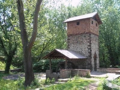
It's Easton Tower not Red Mill Tower in photo. County-owned scenic tower built by Edward Easton in 1899 as part of a spacious landscaped water park.
Editor's Note: I updated the captions to reflect this new information. Thank you for your help!
— Submitted September 6, 2008, by Olga Galanter of FairLawn, New Jersey.
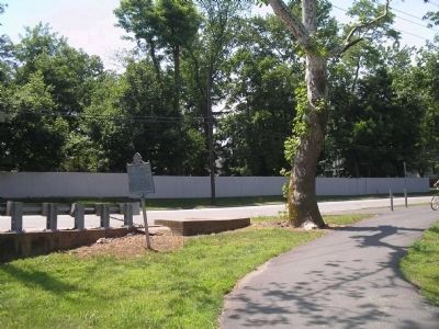
Photographed By Bill Coughlin, June 13, 2008
4. Paramus Marker near Red Mill
The mill was torn down in 1894. Within ten years, Edward Denison Easton, a gramaphone manufacturer, constructed a stone tower on the former site of the Red Mill. This tower is still standing, and is located a short walk down the path that starts near the marker.
Credits. This page was last revised on January 25, 2022. It was originally submitted on June 17, 2008, by Bill Coughlin of Woodland Park, New Jersey. This page has been viewed 3,063 times since then and 99 times this year. Photos: 1. submitted on June 17, 2008, by Bill Coughlin of Woodland Park, New Jersey. 2. submitted on January 15, 2022, by Ira Feller of West Milford, New Jersey. 3, 4, 5. submitted on June 17, 2008, by Bill Coughlin of Woodland Park, New Jersey.
