Greensboro in Hale County, Alabama — The American South (East South Central)
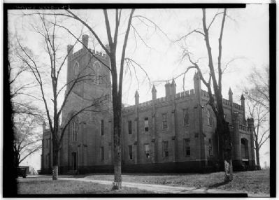
Southern University
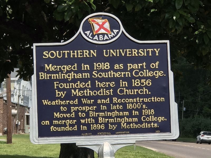
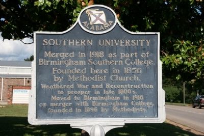
Inscription.
Merged in 1918 as part of Birmingham Southern College.
Founded here in 1856 by Methodist Church.
Weathered War and Reconstruction to prosper in late 1800’s.
Moved to Birmingham in 1918 on merger with Birmingham College, founded in 1896 by Methodists.
Erected 1956 by Alabama Historical Association.
Topics and series. This historical marker is listed in these topic lists: Churches & Religion • Education. In addition, it is included in the Alabama Historical Association series list. A significant historical year for this entry is 1918.
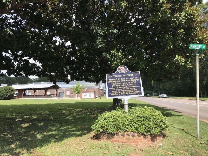
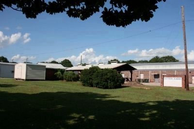
Location. 32° 41.927′ N, 87° 35.096′ W. Marker is in Greensboro, Alabama, in Hale County. Marker is at the intersection of State Street (Alabama Route 69) and Amory Street on State Street. Touch for map. Marker is at or near this postal address: 19518 AL-69, Greensboro AL 36744, United States of America. Touch for directions.
Other nearby markers. At least 8 other markers are within 8 miles of this marker, measured as the crow flies. The Alabama Baptist State Convention (approx. 0.3 miles away); “Glencairn” (approx. 0.7 miles away); St. Paul’s Episcopal Church (approx. ¾ mile away); Greensboro Presbyterian Church (approx. 0.9 miles away); Gayle - Tunstall House (approx. 0.9 miles away); Jones-Burks-Whittington (approx. one mile away); Magnolia Grove (approx. 1.3 miles away); Newbern Baptist Church (approx. 7.8 miles away). Touch for a list and map of all markers in Greensboro.
Credits. This page was last revised on August 12, 2022. It was originally submitted on July 29, 2010, by Timothy Carr of Birmingham, Alabama. This page has been viewed 1,464 times since then and 30 times this year. Last updated on May 26, 2015, by J. Makali Bruton of Accra, Ghana. Photos: 1, 2. submitted on August 12, 2022, by Duane and Tracy Marsteller of Murfreesboro, Tennessee. 3, 4, 5. submitted on July 29, 2010, by Timothy Carr of Birmingham, Alabama. • Bernard Fisher was the editor who published this page.
