Georgetown in Northwest Washington in Washington, District of Columbia — The American Northeast (Mid-Atlantic)
From Seaport to National Park
Rock Creek Park
— National Park Service, U.S. Department of the Interior —
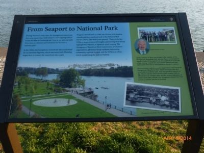
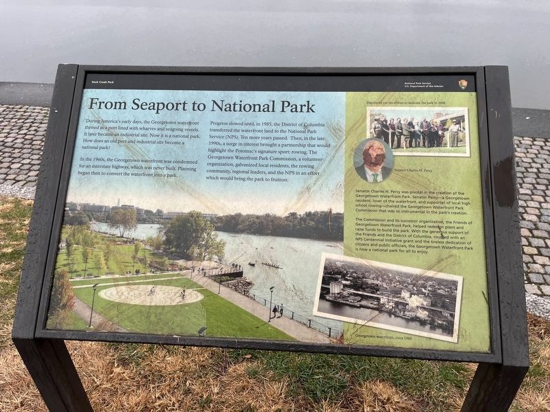
During America's early days, the Georgetown waterfront thrived as a port lined with wharves and seagoing vessels. It later became an industrial site. Now it is a National Park. How does an old port and industrial site become a National Park?
In the 1960s, the Georgetown waterfront was condemned for an interstate highway, which was never built. Planning began then to convert the waterfront into a park.
Progress slowed until, in 1985, the District of Columbia transferred the waterfront land to the National Park Service (NPS). Ten more years passed. Then in the late 1990s, a surge in interest brought a partnership that would highlight the Potomac's signature sport: rowing. The Georgetown Waterfront Park Commission, a volunteer organization, galvanized local residents, the rowing community, regional leaders, and the NPS in an effort which would bring the Park to fruition.
[Sidebar:]
Senator Charles H. Percy was pivotal in the creation of the Georgetown Water Park. Senator Percy - a Georgetown resident, lover of the waterfront and supporter of local high school rowing - chaired the Georgetown Waterfront Park Commission that was so instrumental in the park's creation.
The Commission and its successor organization, the Friends of Georgetown Waterfront Park, helped redesign plans and raise funds to build the park. With the generous support of the Friends of the District of Columbia, coupled with an NPS Centennial initiative grant and the tireless dedication of citizens and public officials, the Georgetown Waterfront Park is now a National Park for all to enjoy.
Erected by National Park Service, U.S. Department of the Interior.
Topics. This historical marker is listed in these topic lists: Industry & Commerce • Parks & Recreational Areas • Sports • Waterways & Vessels. A significant historical year for this entry is 1985.
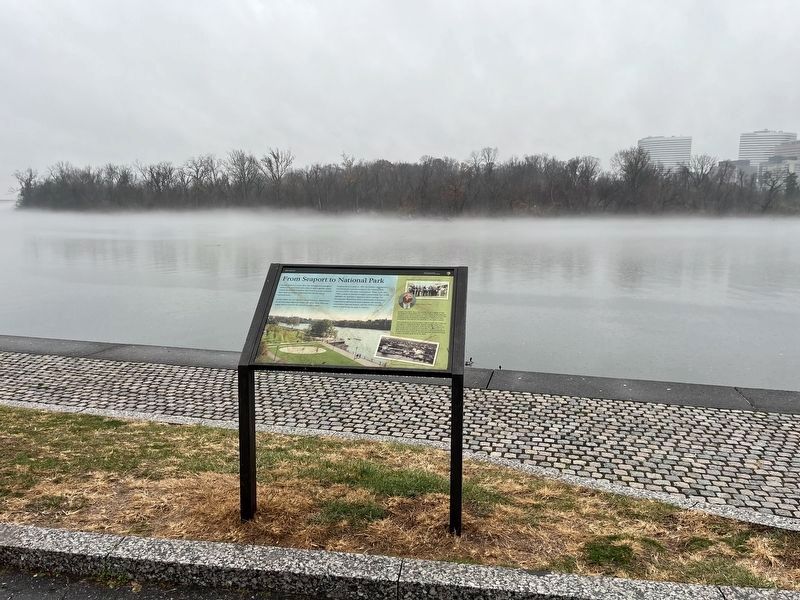
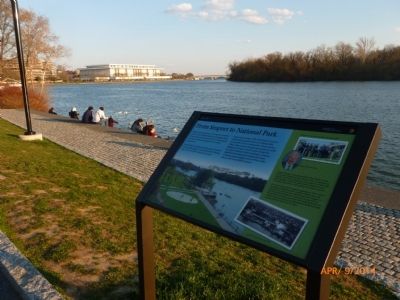
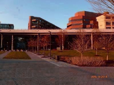
Location. 38° 54.126′ N, 77° 3.744′ W. Marker is in Northwest Washington in Washington, District of Columbia. It is in Georgetown. Marker is on K Street Northwest east of Wisconsin Avenue Northwest, on the right when traveling east. The marker is on the north bank of the Potomac River - below Georgetown's "Washington Harbor" complex which slopes down from K Street to the Waterfront Park where the hiker/biker trail follows the riverbank between the Francis Scott Key Bridge to the west and the Rock Creek Parkway to the east. Touch for map. Marker is at or near this postal address: 950 Wisconsin Avenue Northwest, Washington DC 20007, United States of America. Touch for directions.
Other nearby markers. At least 8 other markers are within walking distance of this marker. Benjamin Banneker and Suter's Tavern (about 300 feet away, measured in a direct line); World War I Memorial
Photographed By Devry Becker Jones (CC0), December 10, 2023
2. From Seaport to National Park Marker
The marker has weathered but remains legible.
Also see . . .
1. Georgetown Waterfront Park. (Submitted on May 30, 2015, by Richard E. Miller of Oxon Hill, Maryland.)
2. Charles H. Percy. (Submitted on June 3, 2015, by Richard E. Miller of Oxon Hill, Maryland.)
Additional keywords. urban renewal; Rock Creek; C&O Canal
Credits. This page was last revised on December 10, 2023. It was originally submitted on May 30, 2015, by Richard E. Miller of Oxon Hill, Maryland. This page has been viewed 455 times since then and 9 times this year. Photos: 1. submitted on June 1, 2015, by Richard E. Miller of Oxon Hill, Maryland. 2, 3. submitted on December 10, 2023, by Devry Becker Jones of Washington, District of Columbia. 4, 5, 6. submitted on June 1, 2015, by Richard E. Miller of Oxon Hill, Maryland. • Bill Pfingsten was the editor who published this page.
