Orange Mound in Memphis in Shelby County, Tennessee — The American South (East South Central)
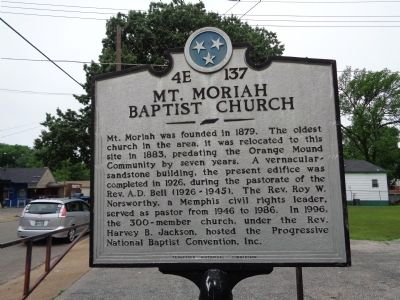
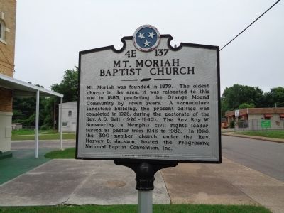
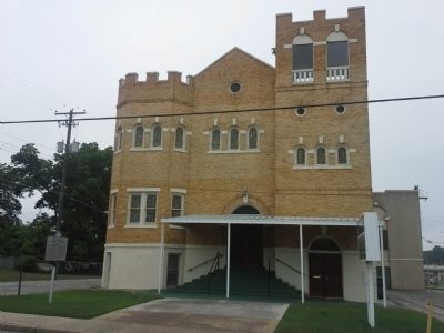
Mt. Moriah Baptist Church
Erected by Tennessee Historical Commission. (Marker Number 4E 137.)
Topics and series. This historical marker is listed in these topic lists: African Americans • Churches & Religion • Civil Rights. In addition, it is included in the Tennessee Historical Commission series list. A significant historical year for this entry is 1879.
Location. 35° 6.764′ N, 89° 58.466′ W. Marker is in Memphis, Tennessee, in Shelby County. It is in Orange Mound. Marker is at the intersection of Carnes St. and David Street, on the right when traveling west on Carnes St.. Touch for map. Marker is at or near this postal address: 2634 Carnes Ave, Memphis TN 38114, United States of America. Touch for directions.
Other nearby markers. At least 8 other markers are within one mile of this marker, measured as the crow flies. Melrose School (approx. 0.2 miles away); Orange Mound (approx. 0.3 miles away); Mt. Pisgah C.M.E. Church (approx. 0.4 miles away); Deaderick Family Cemetery (approx. half a mile away); Zippin Pippin / Libertyland (approx. ¾ mile away); Maxwelton (Circa 1855-1860) (approx. 0.9 miles away); Johnny Cash's First Performance / Johnny Cash and the Tennessee Two (approx. one mile away); Johnny Cash (approx. one mile away). Touch for a list and map of all markers in Memphis.
Credits. This page was last revised on February 7, 2023. It was originally submitted on June 1, 2015, by Steve Masler of Memphis, Tennessee. This page has been viewed 837 times since then and 71 times this year. Photos: 1, 2, 3. submitted on June 1, 2015, by Steve Masler of Memphis, Tennessee. • Bill Pfingsten was the editor who published this page.


