Near Manassas in Prince William County, Virginia — The American South (Mid-Atlantic)
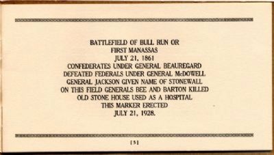
Battlefield of Bull Run or First Manassas
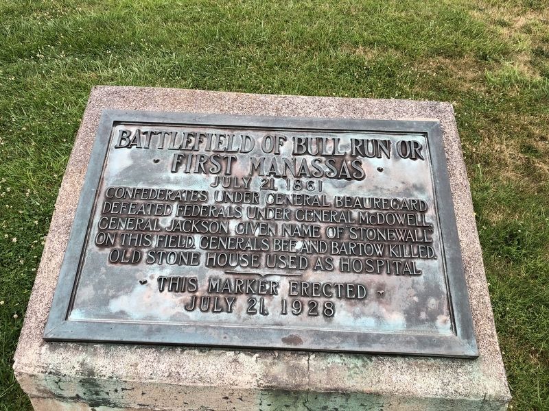
Photographed By Devry Becker Jones (CC0), July 5, 2020
1. Battlefield of Bull Run or First Manassas Marker
Erected 1928.
Topics and series. This historical marker is listed in this topic list: War, US Civil. In addition, it is included in the Battlefield Markers Association series list. A significant historical date for this entry is July 21, 1865.
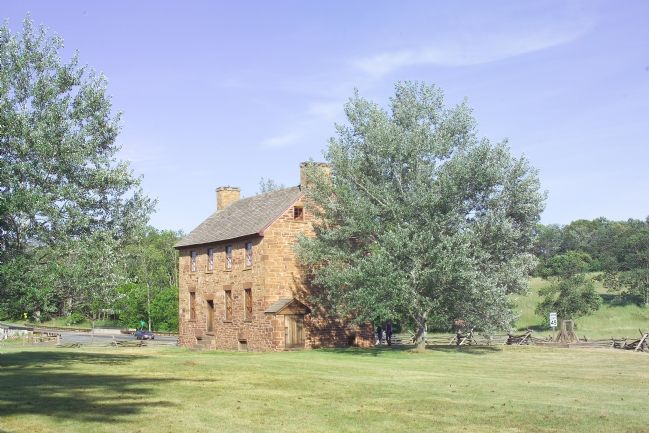
Location. 38° 49.142′ N, 77° 31.604′ W. Marker is near Manassas, Virginia, in Prince William County. Marker can be reached from the intersection of Lee Highway (U.S. 29) and Sudley Road (Virginia Route 234), on the right when traveling west. Marker is on the Sudley Road side of the Old Stone House, opposite the parking lot. Touch for map. Marker is at or near this postal address: 12521 Lee Hwy, Manassas VA 20109, United States of America. Touch for directions.
Other nearby markers. At least 5 other markers are within walking distance of this marker. Stone House: Witness to War (within shouting distance of this marker); Visions of Victory (about 400 feet away, measured in a direct line); Pope's Headquarters (about 400 feet away); Stone House (about 400 feet away); First Battle of Manassas (about 600 feet away). Touch for a list and map of all markers in Manassas.
Also see . . .
1. The Battle of 1st Manassas (1st Bull Run). Short description of the first major land battle of the Civil War. (Submitted on January 30, 2007.)
2. The Battle of Bull Run (1st Manassas). Index of CivilWarHome.com's coverage of this battle. (Submitted on January 30, 2007.)
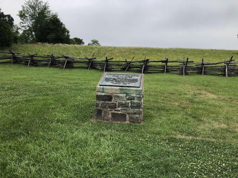
Photographed By Devry Becker Jones (CC0), July 5, 2020
2. Battlefield of Bull Run or First Manassas Marker
Credits. This page was last revised on July 8, 2020. It was originally submitted on January 30, 2007, by Tom Fuchs of Greenbelt, Maryland. This page has been viewed 2,717 times since then and 41 times this year. Photos: 1, 2. submitted on July 5, 2020, by Devry Becker Jones of Washington, District of Columbia. 3, 4. submitted on April 13, 2018, by Allen C. Browne of Silver Spring, Maryland. 5. submitted on January 30, 2007, by Tom Fuchs of Greenbelt, Maryland. 6. submitted on December 9, 2008, by Bernard Fisher of Richmond, Virginia. • J. J. Prats was the editor who published this page.
