Maysville in Mason County, Kentucky — The American South (East South Central)
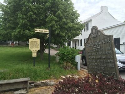
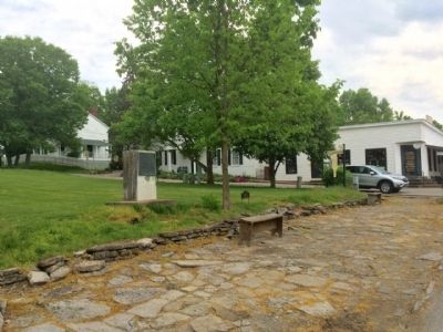
"Washington Courthouse Site"
1793
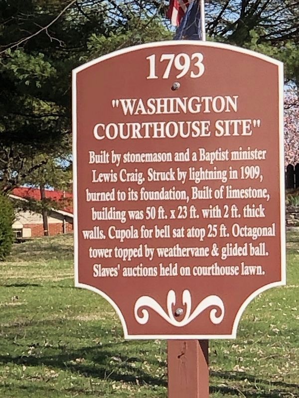
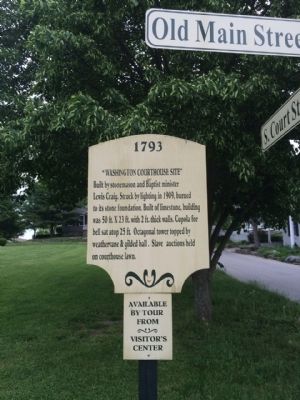
Built by stonemason and Baptist minister Lewis Craig. Struck by lightning in 1909, burned to its stone foundation. Built of limestone, building was 50 ft. X 23 ft. with 2 ft. thick walls. Cupola for bell sat atop 25 ft. Octagonal tower topped by weathervane & gilded ball. Slave auctions held on courthouse lawn.
Topics. This historical marker is listed in this topic list: Notable Buildings. A significant historical year for this entry is 1909.
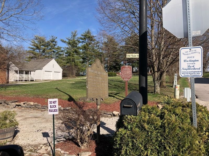
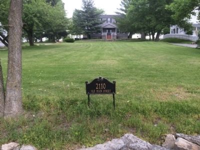
Location. 38° 36.937′ N, 83° 48.513′ W. Marker is in Maysville, Kentucky, in Mason County. Marker is at the intersection of Old Main Street (Kentucky Route 2515) and South Court Street, on the right when traveling north on Old Main Street. Touch for map. Marker is at or near this postal address: 2110 Old Main Street, Maysville KY 41056, United States of America. Touch for directions.
Other nearby markers. At least 8 other markers are within walking distance of this marker. Johnston Birthplace (here, next to this marker); Gen. Albert Sidney Johnston (a few steps from this marker); Washington Hall (a few steps from this marker); Taylor's Corner (within shouting distance of this marker); Pillsbury Boy's School (within shouting distance of this marker); "Albert Sidney Johnston House" (within shouting distance of this marker); Paxton Inn (within shouting distance of this marker); a different marker also named Paxton Inn (within shouting distance of this marker). Touch for a list and map of all markers in Maysville.
Also see . . . History of Courthouse (.pdf). (Submitted on June 5, 2015, by Mark Hilton of Montgomery, Alabama.)
Credits. This page was last revised on March 12, 2023. It was originally submitted on June 5, 2015, by Mark Hilton of Montgomery, Alabama. This page has been viewed 444 times since then and 18 times this year. Photos: 1. submitted on March 11, 2023, by Duane and Tracy Marsteller of Murfreesboro, Tennessee. 2. submitted on June 5, 2015, by Mark Hilton of Montgomery, Alabama. 3. submitted on March 11, 2023, by Duane and Tracy Marsteller of Murfreesboro, Tennessee. 4, 5, 6. submitted on June 5, 2015, by Mark Hilton of Montgomery, Alabama.
