Culpeper in Culpeper County, Virginia — The American South (Mid-Atlantic)
Culpeper Court House
Battle of Culpeper Court House
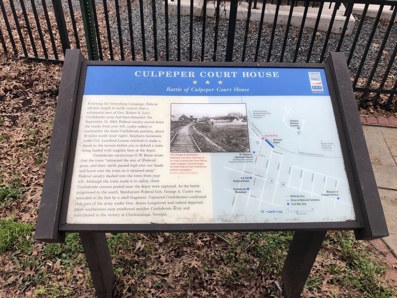
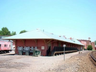
Following the Gettysburg Campaign, Federal officials sought to verify rumors that a substantial part of Gen. Robert E. Lee’s Confederate army had been detached. On September 13, 1863, Federal cavalry moved down the tracks from your left, under orders to reconnoiter the main Confederate position, about 10 miles south (your right). Southern horsemen under Col. Lunsford Lomax resolved to make a stand on the terrain before you to defend a train being loaded with supplies here at the depot.
Confederate cavalryman G.W. Beare wrote that the train “attracted the aim of [Federal] guns, and their shells passed high over our heads and burst over the train as it steamed away.” Federal cavalry dashed into the town from your left. Although the train made it to safety, three Confederate cannon posted near the depot were captured. As the battle progressed to the south, flamboyant Federal Gen. George A. Custer was wounded in the foot by a shell fragment. Captured Confederates confirmed that part of the army under Gen. James Longstreet had indeed departed; these southerners soon reinforced another Confederate army and contributed to the victory at Chickamauga, Georgia.
Erected by Virginia Civil War Trails.
Topics and series. This historical marker is listed in this topic list: War, US Civil. In addition, it is included in the Orange and Alexandria Railroad, and the Virginia Civil War Trails series lists. A significant historical month for this entry is September 1889.
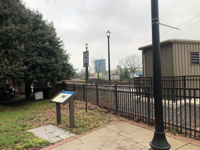
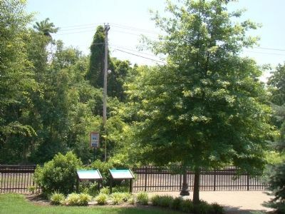
Location. 38° 28.35′ N, 77° 59.583′ W. Marker is in Culpeper, Virginia, in Culpeper County. Marker is at the intersection of South Commerce Street, on the left when traveling south on South Commerce Street. Marker is at the foot of Davis Street, at the Amtrak station. Touch for map. Marker is at or near this postal address: East Davis Street, Culpeper VA 22701, United States of America. Touch for directions.
Other nearby markers. At least 8 other markers are within walking distance of this marker. A Tribute to Black Americans – Early 1900’s (within shouting distance of this marker); Eppa Rixey Boyhood Home (about 500 feet away, measured in a direct line); Veterans Memorial (about 600 feet away); a different marker also named Veterans Memorial (approx. 0.2 miles away); South East Street Historic District (approx. 0.2 miles away); A National Cemetery System (approx. 0.2 miles away); 28th Regiment New York State Volunteer Infantry (approx. 0.2 miles away); Pennsylvania (approx. 0.2 miles away). Touch for a list and map of all markers in Culpeper.
More about this marker. There is a map of the area on the right side of the marker and a photograph in the center attributed to the Library of Congress with this caption The Orange & Alexandria Railroad, seen here with one of its trains leaving the Court House, made Culpeper a prized target for both Federal and Confederate military strategists.
Credits. This page was last revised on April 11, 2021. It was originally submitted on June 19, 2008, by J. J. Prats of Powell, Ohio. This page has been viewed 2,695 times since then and 72 times this year. Photos: 1. submitted on April 11, 2021, by Devry Becker Jones of Washington, District of Columbia. 2. submitted on June 19, 2008, by J. J. Prats of Powell, Ohio. 3. submitted on April 11, 2021, by Devry Becker Jones of Washington, District of Columbia. 4, 5. submitted on June 19, 2008, by J. J. Prats of Powell, Ohio. 6. submitted on October 19, 2008, by Craig Swain of Leesburg, Virginia. • Craig Swain was the editor who published this page.
