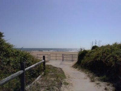
North Virginia Beach , Virginia — The American South (Mid-Atlantic)
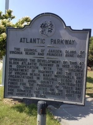
Atlantic Parkway
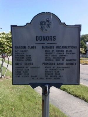
Sponsored the development of this 47 block Atlantic Parkway in 1952-1954, in cooperation with the Virginia Department of Highways and the City of Virginia Beach. Many individuals and organizations in Virginia Beach and Princess Anne County contributed funds for the purchase of tees and shrubs. Those listed on the reverse side donated the equivalent cost of one complete block.
Erected by The Council of GardenClubs of Virginia Beach and Princess Anne Co.
Topics. This historical marker is listed in these topic lists: Horticulture & Forestry • Roads & Vehicles.
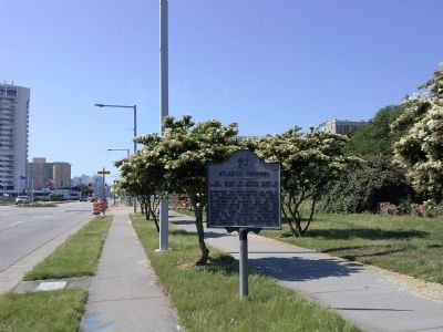
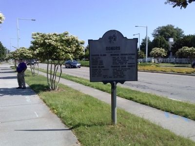
Location. 36° 52.25′ N, 75° 58.957′ W. Marker is in Virginia Beach, Virginia. It is in North Virginia Beach. Marker is at the intersection of Atlantic Avenue (U.S. 60) and 42½ Street, on the right when traveling south on Atlantic Avenue. Touch for map. Marker is in this post office area: Virginia Beach VA 23452, United States of America. Touch for directions.
Other nearby markers. At least 8 other markers are within walking distance of this marker. The Cavalier Hotel (about 600 feet away, measured in a direct line); Navy SEAL Monument (approx. 0.4 miles away); Premier Boardwalk Events (approx. half a mile away); The Winds of Change (approx. half a mile away); The Ash Wednesday Storm (approx. half a mile away); VB Now (approx. half a mile away); Seaside Park Casino / The Cavalier Hotel (approx. half a mile away); The Princess Anne Hotel (approx. half a mile away). Touch for a list and map of all markers in Virginia Beach.
Additional commentary.
1. Atlantic Parkway
Virginia Beach was incorporated in 1906 and became the resort city of Virginia Beach in 1963 when it merged with Princess Anne County. It calls itself "The World's Largest Resort City." Atlantic Highway is parallel to the ocean and is lined with beautiful ocean front cottages, hotels, and retail establishments.
— Submitted June 8, 2015, by Marsha A. Matson of Palmetto Bay, Florida.
Credits. This page was last revised on February 1, 2023. It was originally submitted on June 8, 2015, by Marsha A. Matson of Palmetto Bay, Florida. This page has been viewed 448 times since then and 16 times this year. Photos: 1, 2, 3, 4, 5. submitted on June 8, 2015, by Marsha A. Matson of Palmetto Bay, Florida. • Bernard Fisher was the editor who published this page.
