Delta in Madison Parish, Louisiana — The American South (West South Central)
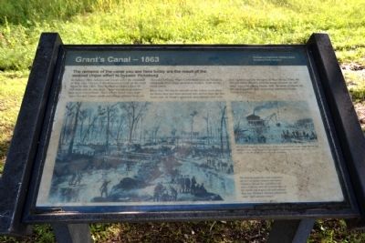
Grant's Canal – 1863
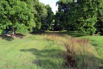
In January 1863, laborers and troops under the command of Maj. Gen. Ulysses S. Grant resumed work on the canal begun in June 1862. They worked to create a ditch 60 feet wide and six feet deep – large enough to accommodate most Union boats. Their efforts failed when high water flooded Union camps and illness afflicted both soldiers and laborers. When Confederate guns at Vicksburg eventually drove away the Union dredges, work on the canal ended.
More than 500 blacks labored on the Union excavation -- far fewer than had been pressed into service here the previous year. At Grant’s approach, area planters fled with their families and the strongest of their slaves. “Only the old and sickly (blacks) with the house servant are left here,” recorded a local diarist. Still, the work of blacks on the canal signaled their increasing importance to the Union war effort.
(Left Drawing Caption)
The Federals hoped the canal would force the river to change channels and bypass Vicksburg. Though the canal filled with water, it did not catch the scouring effect of the current and began to fill with sediment. Maj. Gen. William T. Sherman admitted the canal “don’t amount to much.”
(Right Drawing Caption)
The Federals used two steam dipper dredges to speed work on the canal. But the big machines were ready targets for Vicksburg’s long-range batteries. After only a few weeks work, the dredges were forced to withdraw.
Erected by National Park Service.
Topics. This historical marker is listed in these topic lists: African Americans • War, US Civil • Waterways & Vessels. A significant historical month for this entry is January 1863.
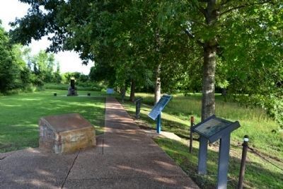
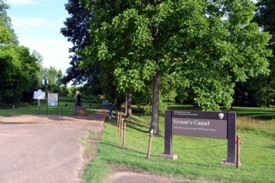
Location. 32° 19.252′ N, 90° 55.982′ W. Marker is in Delta, Louisiana, in Madison Parish. Marker can be reached from the intersection of Old Highway 80 East and Stafford Drive, on the left when traveling south. Marker is located in the Grant’s Canal unit of the Vicksburg National Military Park; the above directions are to the parking lot. Touch for map. Marker is in this post office area: Delta LA 71233, United States of America. Touch for directions.
Other nearby markers. At least 8 other markers are within walking distance of this marker. U.S. Operations Against Vicksburg (here, next to this marker); Grant's Canal (a few steps from this marker); Williams' Canal – 1862 (a few steps from this marker); Mississippi Sidestep (a few steps from this marker); a different marker also named Grant's Canal (a few steps from this marker); Freedmen Fight at Milliken's Bend
(a few steps from this marker); U.S. African Brigade (within shouting distance of this marker); Ninth Regiment Connecticut Volunteers (within shouting distance of this marker). Touch for a list and map of all markers in Delta.
Also see . . .
1. Grant's Canal. From the National Park Service website for Vicksburg National Military Park. (Submitted on June 17, 2015.)
2. The Canal to Nowhere. An in-depth article by Terry L. Jones from the Disunion blog in the Opinionator section of the New York Times website. (Submitted on June 17, 2015.)
Credits. This page was last revised on June 16, 2016. It was originally submitted on June 17, 2015, by Duane Hall of Abilene, Texas. This page has been viewed 519 times since then and 30 times this year. Photos: 1, 2, 3, 4. submitted on June 17, 2015, by Duane Hall of Abilene, Texas.


