Waterfront in Buffalo in Erie County, New York — The American Northeast (Mid-Atlantic)
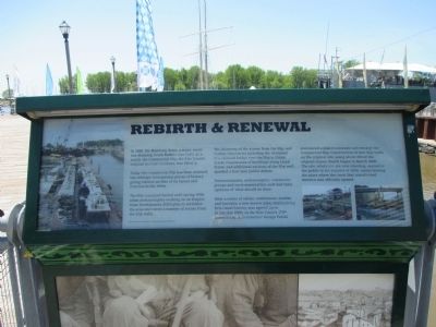
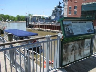
Rebirth & Renewal
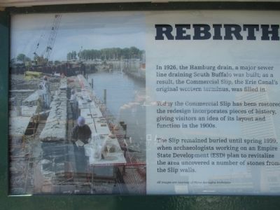
Today the Commercial Slip has been restored: the redesign incorporates pieces of history, giving visitors an idea of its layout and function in the 1900s.
The Slip remained buried until spring 1999, when archaeologists working on an Empire State Development (EDSI) plan to revitalize the area uncovered a number of stones from the Slip walls.
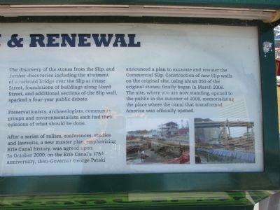
The discovery of the stones from the Slip, and further discoveries including the abutment of a railroad bridge over the Slip at Prime Street, foundations of buildings along Lloyd Street, and additional sections of the Slip wall, sparked a four-year public debate.
Preservationists, archaeologists, community groups and environmentalists each has their opinions of what should be done.
After a series of rallies, conferences, studies and lawsuits, a new master plan, emphasizing Erie Canal History, was agreed upon. In October 2000, on the Erie Canal's 175th anniversary, then-Governor George Pataki annouced a plan to excavate and rewater the Commercial Slip. Construction of new Slip walls on the original site, using about 350 of the original stones, finally began in March 2006. The site, where you are now standing, opened to the public in the summer of 2008, memorializing the place where the canal that transformed America was officially opened. All images are courtesy of Flynn Battaglia Architects.
Topics and series. This historical marker is listed in these topic lists: Charity & Public Work • Waterways & Vessels. In addition, it is included in the Erie Canal series list. A significant historical month for this entry is March 2006.
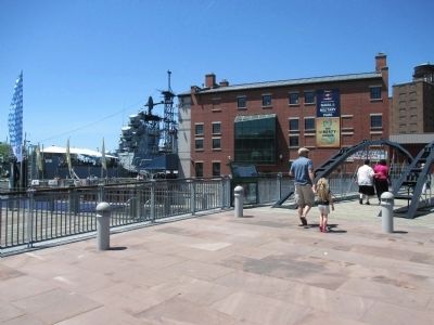
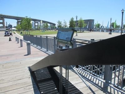
Location. 42° 52.631′ N, 78° 52.758′ W. Marker is in Buffalo, New York, in Erie County. It is in Waterfront. Marker is at the intersection of Prime Street and Lloyd Street, on the left when traveling north on Prime Street. Marker is at Naval Park Cove at the southwest end of a pedestrian bridge. Touch for map. Marker is in this post office area: Buffalo NY 14202, United States of America. Touch for directions.
Other nearby markers. At least 8 other markers are within walking distance of this marker. Harboring Hopes (here, next to this marker); William Wells Brown (within shouting distance of this marker); Wedding of the Waters (within shouting distance of this marker); The Ruins at Canalside (within shouting distance of this marker); The Big Picture (within shouting distance of this marker); God Honor and Country (within shouting distance of this marker); In Recognition of Long and Faithful Service (within shouting distance of this marker); 106th Field Artillery Regiment (within shouting distance of this marker). Touch for a list and map of all markers in Buffalo.
Credits. This page was last revised on February 16, 2023. It was originally submitted on June 17, 2015, by Anton Schwarzmueller of Wilson, New York. This page has been viewed 338 times since then and 12 times this year. Photos: 1, 2, 3, 4, 5, 6. submitted on June 17, 2015, by Anton Schwarzmueller of Wilson, New York.
