Near Hohenwald in Lewis County, Tennessee — The American South (East South Central)
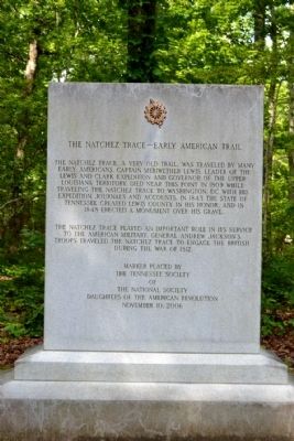
The Natchez Trace – Early American Trail
The Natchez Trace played an important role in its service to the American military. General Andrew Jackson’s troops traveled the Natchez Trace to engage the British during the War of 1812.
Marker placed by the Tennessee Society of the National Society Daughters of the American Revolution
November 10, 2006
Erected 2006 by Daughters of the American Revolution.
Topics and series. This historical marker is listed in these topic lists: Roads & Vehicles • War of 1812. In addition, it is included in the Daughters of the American Revolution, the Former U.S. Presidents: #07 Andrew Jackson, and the Natchez Trace series lists. A significant historical date for this entry is November 10, 2006.
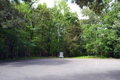
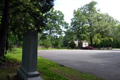
Location. 35° 30.527′ N, 87° 27.601′ W. Marker is near Hohenwald, Tennessee, in Lewis County. Marker can be reached from Natchez Trace Parkway (at milepost 385.9), 0.2 miles north of Summertown Highway (Tennessee Route 20), on the left when traveling north. Marker is located next to the parking area for the Grinder House at the Meriwether Lewis Site on the Natchez Trace. Touch for map. Marker is in this post office area: Hohenwald TN 38462, United States of America. Touch for directions.
Other nearby markers. At least 8 other markers are within 6 miles of this marker, measured as the crow flies. Grinder House (within shouting distance of this marker); Natchez Trace (about 500 feet away, measured in a direct line); Meriwether Lewis: Life Compass (about 500 feet away); Meriwether Lewis (approx. 0.2 miles away); Metal Ford (approx. 3.3 miles away); Steele's Iron Works (approx. 3.3 miles away); Phosphate Mine (approx. 4˝ miles away); a different marker also named Meriwether Lewis (approx. 5.7 miles away). Touch for a list and map of all markers in Hohenwald.
Also see . . . Natchez Trace. Official National Park Service website. (Submitted on June 23, 2015.)
Credits. This page was last revised on June 16, 2016. It was originally submitted on June 23, 2015, by Duane Hall of Abilene, Texas. This page has been viewed 451 times since then and 18 times this year. Photos: 1, 2, 3. submitted on June 23, 2015, by Duane Hall of Abilene, Texas.


