Near Collinwood in Wayne County, Tennessee — The American South (East South Central)
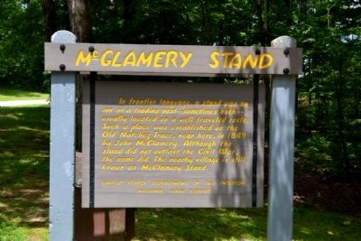
McGlamery Stand
Erected by National Park Service.
Topics and series. This historical marker is listed in these topic lists: Industry & Commerce • Roads & Vehicles • Settlements & Settlers. In addition, it is included in the Natchez Trace series list. A significant historical year for this entry is 1849.
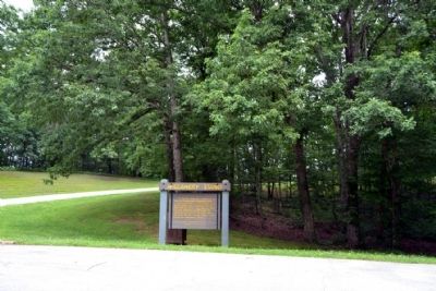
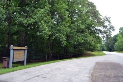
Location. 35° 8.853′ N, 87° 44.516′ W. Marker is near Collinwood, Tennessee, in Wayne County. Marker is on Natchez Trace Parkway (at milepost 352.9), 2 miles north of Tennessee Route 13, on the left when traveling north. Touch for map. Marker is in this post office area: Collinwood TN 38450, United States of America. Touch for directions.
Other nearby markers. At least 8 other markers are within 12 miles of this marker, measured as the crow flies. McGlamery's Stand (approx. 0.2 miles away); Wayne County Veterans Park (approx. 1.8 miles away); Divided Loyalties (approx. 1.9 miles away); Sunken Trace (approx. 2.3 miles away); Army of Tennessee (approx. 7.1 miles away); Sweetwater Branch (approx. 8.7 miles away); State Line (approx. 10.8 miles away); Incident at Waynesboro (approx. 12 miles away). Touch for a list and map of all markers in Collinwood.
Also see . . . Natchez Trace. Official National Park Service website. (Submitted on June 24, 2015.)
Credits. This page was last revised on June 16, 2016. It was originally submitted on June 24, 2015, by Duane Hall of Abilene, Texas. This page has been viewed 542 times since then and 17 times this year. Photos: 1, 2, 3. submitted on June 24, 2015, by Duane Hall of Abilene, Texas.


