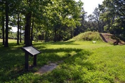
Near New Houlka in Chickasaw County, Mississippi — The American South (East South Central)
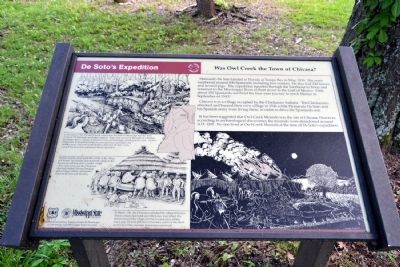
De Soto's Expedition
Was Owl Creek the Town of Chicasa?
Chicasa was a village occupied by the Chickasaw Indians. The Chickasaws attacked and burned their own village in 1541 while Hernando De Soto and his Spanish army were living there, in order to drive the Spaniards out.
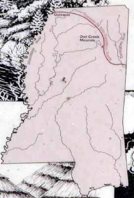
It has been suggested that Owl Creek Mounds was the site of Chicasa. However, according to archaeological discoveries the mounds were abandoned around A.D. 1200. No one lived at Owl Creek Mounds at the time of De Soto’s expedition.
In December, 1540, De Soto entered what is now the state of Mississippi with his army of about 700 Spaniards and Indian captives. When they arrived at the banks of a flooded Tombigbee River, a group of Indians on its west bank began threatening the army. De Soto dispatched 30 mounted soldiers to cross upstream and frighten the Indians away. Once the hostile Indians departed, De Soto’s army crossed the river and continued without opposition.
De Soto and his army spent that winter in the village of Chicasa. The Indians abandoned the village to the Spaniards and moved to a smaller village a few miles away, but the Chickasaw chief still visited Chicasa, bringing gifts of dogs, rabbits, and animal hides to De Soto and his army.
In March, 1541, the Chickasaws attacked the village of Chicasa. About a dozen Spaniards and fifty horses were killed. The Indians burned the village and the livestock pens, killing many pigs. De Soto and most of his army survived the attack and in April they resumed their journey westward.
Erected by United States Forest Service and Mississippi State University.
Topics. This historical marker is listed in these topic lists: Colonial Era • Exploration • Native Americans. A significant historical month for this entry is March 1541.
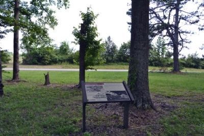
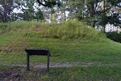
Location. 34° 3.371′ N, 88° 55.471′ W. Marker is near New Houlka, Mississippi, in Chickasaw County. Marker can be reached from County Road 413, 2˝ miles west of Natchez Trace Parkway, on the right when traveling west. Marker is located at the Owl Creek Archaeological Site in Tombigbee National Forest. Touch for map. Marker is in this post office area: Houlka MS 38850, United States of America. Touch for directions.
Other nearby markers. At least 8 other markers are within 4 miles of this marker, measured as the crow flies. Archaeology at Owl Creek Mounds (a few steps from this marker); a different marker also named Archaeology at Owl Creek Mounds
(within shouting distance of this marker); Archaeology Determines the Age of Owl Creek Mounds (within shouting distance of this marker); Owl Creek Mounds (within shouting distance of this marker); William Colbert's Last Homesite (about 400 feet away, measured in a direct line); Hernando de Soto (approx. 2.7 miles away); Monroe Mission Station (approx. 3.3 miles away); Chickasaw Agency (approx. 3.3 miles away). Touch for a list and map of all markers in New Houlka.
Credits. This page was last revised on September 24, 2020. It was originally submitted on June 24, 2015, by Duane Hall of Abilene, Texas. This page has been viewed 606 times since then and 27 times this year. Photos: 1, 2, 3, 4, 5. submitted on June 24, 2015, by Duane Hall of Abilene, Texas.
