Near Shannon in Pontotoc County, Mississippi — The American South (East South Central)
Tockshish
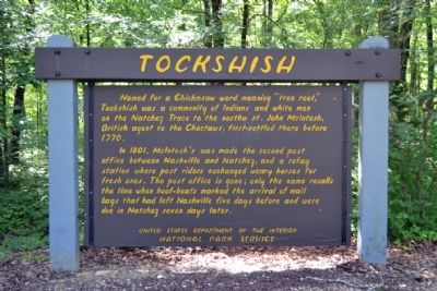
In 1801, McIntosh’s was made the second post office between Nashville and Natchez, and a relay station where post riders exchanged weary horses for fresh ones. The post office is gone; only the name recalls the time when hoof-beats marked the arrival of mail bags that had left Nashville five days before and were due in Natchez seven days later.
Erected by National Park Service.
Topics and series. This historical marker is listed in these topic lists: Communications • Native Americans • Roads & Vehicles • Settlements & Settlers. In addition, it is included in the Natchez Trace, and the Postal Mail and Philately series lists. A significant historical year for this entry is 1770.
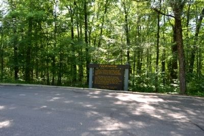
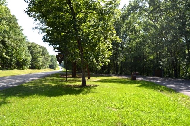
Location. 34° 7.482′ N, 88° 50.79′ W. Marker is near Shannon, Mississippi, in Pontotoc County. Marker is on Natchez Trace Parkway (at milepost 249.6), 2 miles south of Pontocola Road (County Road 506), on the left when traveling north. Touch for map. Marker is in this post office area: Shannon MS 38868, United States of America. Touch for directions.
Other nearby markers. At least 8 other markers are within 7 miles of this marker, measured as the crow flies. Chickasaw Council House (approx. 1˝ miles away); Black Belt (approx. 2.3 miles away); Monroe Mission Station (approx. 4 miles away); Battle of Okolona (approx. 5.1 miles away); Site of Pontotoc Creek Treaty (approx. 6.1 miles away); a different marker also named Site of Pontotoc Creek Treaty (approx. 6.1 miles away); Hernando de Soto (approx. 6.2 miles away); Zion School (approx. 6.2 miles away). Touch for a list and map of all markers in Shannon.
Also see . . . Natchez Trace. Official National Park Service website. (Submitted on June 29, 2015.)
Credits. This page was last revised on June 16, 2016. It was originally submitted on June 29, 2015, by Duane Hall of Abilene, Texas. This page has been viewed 566 times since then and 39 times this year. Photos: 1, 2, 3. submitted on June 29, 2015, by Duane Hall of Abilene, Texas.


