Brooklyn in Jackson County, Michigan — The American Midwest (Great Lakes)
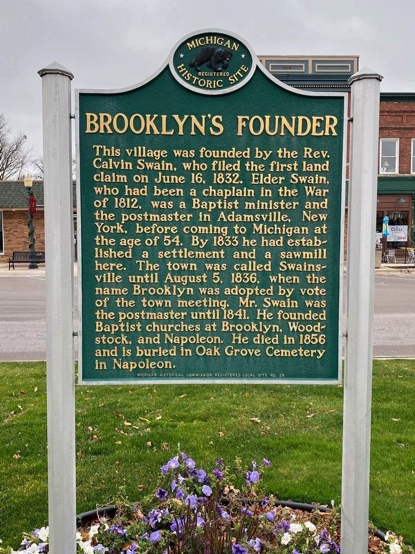
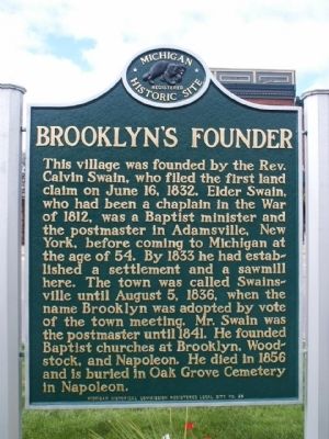
Brooklyn's Founder
Erected by Michigan Historical Commission. (Marker Number L29.)
Topics and series. This historical marker is listed in these topic lists: Churches & Religion • Settlements & Settlers. In addition, it is included in the Michigan Historical Commission series list. A significant historical month for this entry is June 1829.
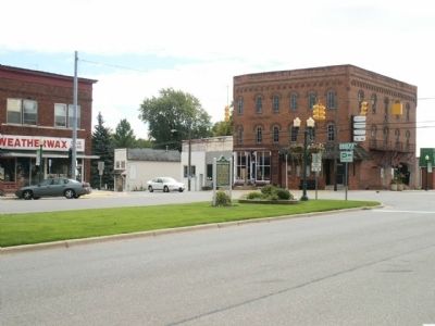
Location. 42° 6.366′ N, 84° 14.873′ W. Marker is in Brooklyn, Michigan, in Jackson County. Marker is at the intersection of State Highway 50 and Chicago Street, on the left when traveling south on State Highway 50. Touch for map. Marker is in this post office area: Brooklyn MI 49230, United States of America. Touch for directions.
Other nearby markers. At least 8 other markers are within 4 miles of this marker, measured as the crow flies. Veterans Memorial (within shouting distance of this marker); Brooklyn Presbyterian Church (about 600 feet away, measured in a direct line); Ford Motor Company Brooklyn Plant: (approx. ¼ mile away); Henry Ford in Brooklyn (approx. 0.4 miles away); Michigan International Speedway: (approx. 3.3 miles away); Corporal Glenn Kleile (approx. 3.4 miles away); At the Crossroads (approx. 3.4 miles away); Cambridge Junction Historic State Park (approx. 3.4 miles away). Touch for a list and map of all markers in Brooklyn.
Credits. This page was last revised on January 4, 2023. It was originally submitted on July 2, 2015, by Joel Seewald of Madison Heights, Michigan. This page has been viewed 575 times since then and 40 times this year. Photos: 1. submitted on November 16, 2022, by J.T. Lambrou of New Boston, Michigan. 2, 3. submitted on July 2, 2015, by Joel Seewald of Madison Heights, Michigan. • Bill Pfingsten was the editor who published this page.


