Walker's Point in Milwaukee in Milwaukee County, Wisconsin — The American Midwest (Great Lakes)
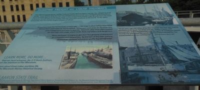
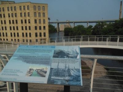
Floating Freight on Liquid Highways
Schooners were the "semi trucks" of their day - the large-hulled sailing ships filled Milwaukee's waterways by the hundreds. Schooners were popular because they were inexpensive and easy to operate. However, they were often loaded ten feet high with cargo, which made them top-heavy and dangerous.
Many European immigrants got their first glimpse of Wisconsin on schooners and steamships. By the turn of the 20th century, steamships replaced schooners on the liquid highways.
"Three years ago, the valley of the Menomonee was one vast swamp, the home of the duck, rice-bird, and rail. Today it teems with busy people and is embellished with the spars of numerous vessels moving into and about the canals that have been formed for the accommodation of our commerce."
- Milwaukee Sentinel, May 24, 1872
Erected by Wisconsin Department of Natural Resources, Menomonee Valley Partners, Inc., the Wisconsin Coastal Management Program and the National Oceanic and Atmospheric Administration.
Topics. This historical marker is listed in these topic lists: Industry & Commerce • Man-Made Features • Waterways & Vessels. A significant historical date for this entry is May 24, 1789.
Location. 43° 1.726′ N, 87° 55.094′ W. Marker is in Milwaukee, Wisconsin, in Milwaukee County. It is in Walker's Point. Marker is on South 6th Street, 0.1 miles south of West Canal Street, on the right when traveling south. Touch for map. Marker is in this post office area: Milwaukee WI 53204, United States of America. Touch for directions.
Other nearby markers. At least 8 other markers are within walking distance of this marker. Holy Trinity - Our Lady of Guadalupe Church (approx. 0.3 miles away); Milwaukee Fire Department Engine House #15 (approx. half a mile away); Sinking of the Lady Elgin (approx. half a mile away); Bradley & Metcalf Shoe Co. (approx. half a mile away); Pabst Brewing Company Saloon & Boarding House (approx. half a mile away); Keenan Building (approx. half a mile away); Young Saddlery Company Addition (approx. half a mile away); Friend & Marks Co., Clothiers (approx. half a mile away). Touch for a list and map of all markers in Milwaukee.
Credits. This page was last revised on February 16, 2023. It was originally submitted on July 4, 2015, by Gordon Govier of Fitchburg, Wisconsin. This page has been viewed 329 times since then and 11 times this year. Photos: 1, 2. submitted on July 4, 2015, by Gordon Govier of Fitchburg, Wisconsin. • Andrew Ruppenstein was the editor who published this page.

