Near Sheffield in Crockett County, Texas — The American South (West South Central)
The Chihuahua Trail and Escondido Water Hole
Inscription.
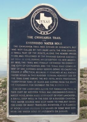
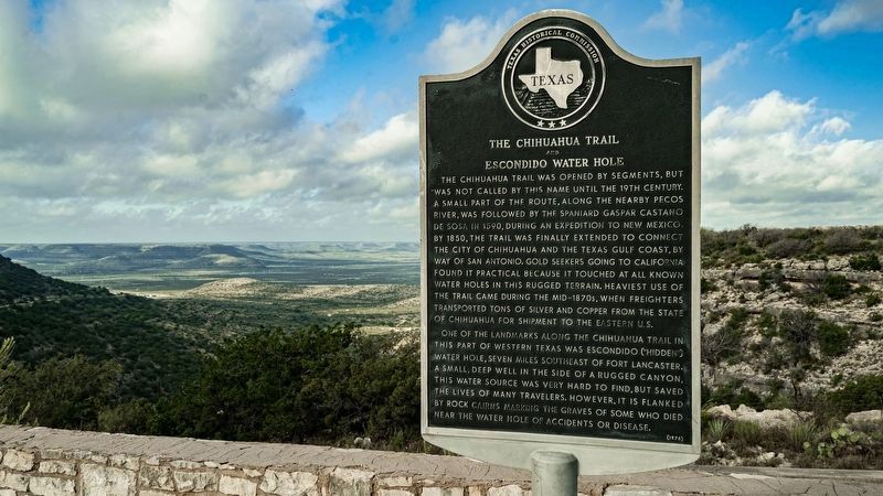
The Chihuahua Trail was opened by segments, but was not called by this name until the 19th century. A small part of the route, along the nearby Pecos River, was followed by the Spaniard Gaspar Castano de Sosa in 1590, during an expedition to New Mexico. By 1850, the trail was finally extended to connect the city of Chihuahua and the Texas Gulf Coast, by way of San Antonio. Gold seekers going to California found it practical because it touched at all known water holes in this rugged terrain. Heaviest use of the trail came during the mid-1870s, when freighters transported tons of silver and copper from the state of Chihuahua for shipment to the eastern U.S.
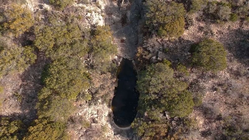
One of the landmarks along the Chihuahua Trail in this part of western Texas was Escondido ("Hidden") water hole, seven miles southeast of Fort Lancaster. A small, deep well in the side of a rugged canyon, this water source was very hard to find, but saved the lives of many travelers. However, it is flanked by rock cairns marking the graves of some who died near the water hole of accidents or disease.
Erected 1976 by Texas Historical Commission. (Marker Number 5303.)
Topics and series. This historical marker is listed in these topic lists: Exploration • Roads & Vehicles • Settlements & Settlers. In addition, it is included in the San Antonio-El Paso Road series list. A significant historical year for this entry is 1590.
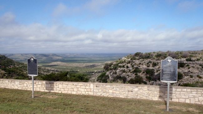
Location. 30° 40.701′ N, 101° 40.379′ W. Marker is near Sheffield, Texas, in Crockett County. Marker is on State Highway 290, 8.8 miles south of Interstate 10, on the left when traveling west. This marker is located in the TXDOT picnic area overlook. Touch for map. Marker is in this post office area: Sheffield TX 79781, United States of America. Touch for directions.
Other nearby markers. At least 8 other markers are within 2 miles of this marker, measured as the crow flies. Howard's Well (here, next to this marker); Old Government Road (a few steps from this marker); Fort Lancaster Cemetery (approx. 1˝ miles away); Hospital (approx. 1.6 miles away); Officer's Quarters (approx. 1.6 miles away); Commanding Officer's Quarters (approx. 1.6 miles away); Commissary (approx. 1.6 miles away); Ruins of Fort Lancaster (approx. 1.6 miles away). Touch for a list and map of all markers in Sheffield.
More about this marker. This marker was originally placed at the Fort Lancaster Visitor's Center. It was missing for several years and has now been installed at the State Hwy 280 TXDOT picnic area overlook.
Regarding The Chihuahua Trail and Escondido Water Hole.
The sites described by marker are many miles away. Fort Lancaster is located in the Pecos River valley far below the overlook. On a clear day the post flag is visible.
Credits. This page was last revised on June 5, 2020. It was originally submitted on July 5, 2015, by William F Haenn of Fort Clark (Brackettville), Texas. This page has been viewed 779 times since then and 46 times this year. Last updated on November 23, 2018, by Brian Anderson of Humble, Texas. Photos: 1. submitted on July 5, 2015, by William F Haenn of Fort Clark (Brackettville), Texas. 2. submitted on February 13, 2020, by Sean McCormick of Lago Vista, Texas. 3. submitted on July 5, 2015, by William F Haenn of Fort Clark (Brackettville), Texas. 4. submitted on February 13, 2020, by Sean McCormick of Lago Vista, Texas. • Bernard Fisher was the editor who published this page.


