Raymond in Hinds County, Mississippi — The American South (East South Central)
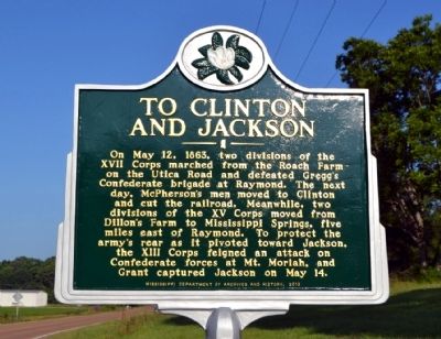
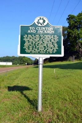
To Clinton and Jackson
Erected 2013 by Mississippi Department of Archives and History.
Topics and series. This historical marker is listed in this topic list: War, US Civil. In addition, it is included in the Mississippi State Historical Marker Program series list. A significant historical month for this entry is May 1915.
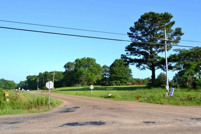
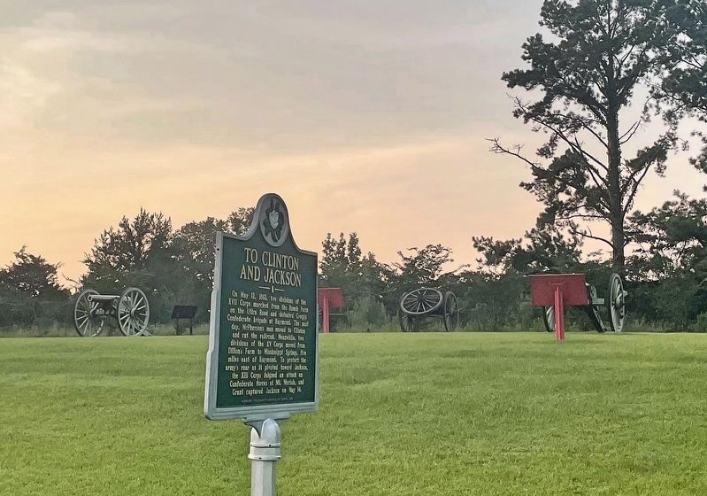
Location. 32° 14.844′ N, 90° 26.546′ W. Marker is in Raymond, Mississippi, in Hinds County. Marker is at the intersection of Old Port Gibson Road and Port Gibson Street, on the right when traveling west on Old Port Gibson Road. Marker is located next to a section of the Raymond Military Park known as Bledsoe's Battery that is detached from the main part of the park. Touch for map. Marker is in this post office area: Raymond MS 39154, United States of America. Touch for directions.
Other nearby markers. At least 8 other markers are within walking distance of this marker. C.S. Gregg's Task Force (a few steps from this marker); C.S. Bledsoe's Missouri Battery (3 Guns) (within shouting distance of this marker); a different marker also named C.S. Gregg's Task Force (within shouting distance of this marker); Artillery Ammunition (within shouting distance of this marker); Whitworth Breechloading Rifle (within shouting distance of this marker); The Campaign Turns East (approx. 0.2 miles away); a different marker also named C.S. Gregg's Task Force (approx. 0.2 miles away); Battle of Raymond - This Walking Trail (approx. 0.2 miles away). Touch for a list and map of all markers in Raymond.
Also see . . . Friends of Raymond. Official website of the Friends of Raymond with detailed information on the Battle of Raymond and the preservation of the battlefield. (Submitted on July 6, 2015.)
Credits. This page was last revised on August 1, 2021. It was originally submitted on July 6, 2015, by Duane Hall of Abilene, Texas. This page has been viewed 394 times since then and 14 times this year. Photos: 1, 2, 3. submitted on July 6, 2015, by Duane Hall of Abilene, Texas. 4. submitted on August 1, 2021, by Mark Hilton of Montgomery, Alabama.


