El Paso in El Paso County, Texas — The American South (West South Central)
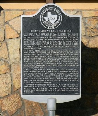
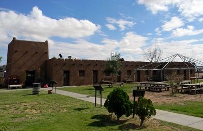
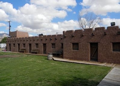
Fort Bliss at Lanoria Mesa
In 1911, responding to revolution in Mexico, the government reinforced the infantry with artillery and cavalry units. In 1916, the U.S. began large-scale military operations into northern Mexico after revolutionaries attacked Columbus, New Mexico. The Punitive Expedition, led by Gen. John J. Pershing in pursuit of Francisco “Pancho” Villa, used Fort Bliss as headquarters. It utilized more than 100,000 U.S. troops, providing vital field training for soldiers and commanders who would soon be involved in what was World War I.
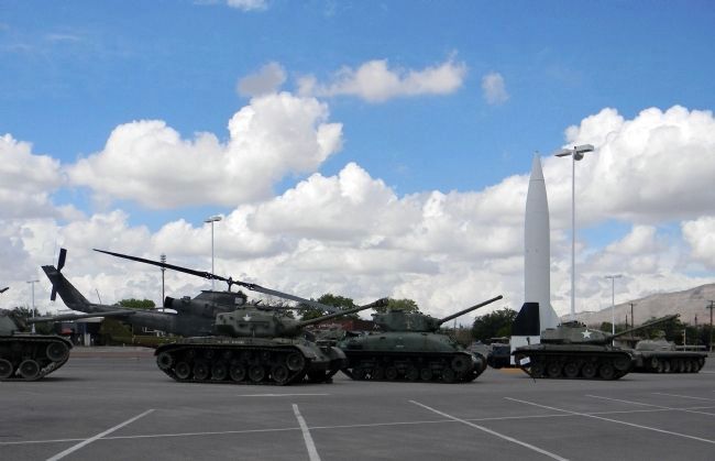
By 1941, Fort Bliss was the nationís largest cavalry post. With the onset of World War II, the government increased the size of the post to more than a million acres, spanning this part of Texas and a large portion of the Tularosa Basin in New Mexico. Eighty battalions of anti-aircraft artillerymen trained at Fort Bliss as part of the war effort. After the war, German scientists brought to the fort began the U.S. Armyís missile program.
Fort Bliss has deployed troops to all parts of the world in defense of the U.S., and it has been a training center for both U.S. and allied troops. The fortís climate, size and rich history have combined to make it a key strategic asset for the nation.
Erected 2005 by Texas Historical Commission. (Marker Number 13729.)
Topics. This historical marker is listed in these topic lists: Forts and Castles • War, Mexican-American. A significant historical year for this entry is 1849.
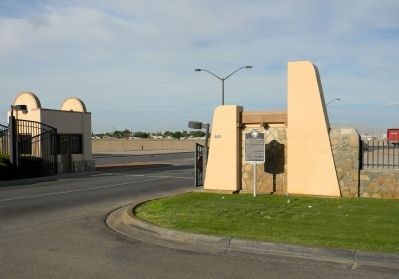
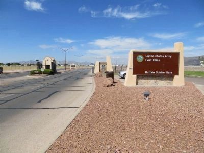
Location. 31° 47.734′ N, 106° 24.349′ W. Marker is in El Paso, Texas, in El Paso County. Marker is on Robert E. Lee Road, 0.1 miles west of Airport Road, on the right when traveling west. The marker is located at the Robert E. Lee gate to Fort Bliss. It is accessible from a vehicle pull-off at the gate. Touch for map. Marker is at or near this postal address: Building 5472, Robert E Lee Road, Fort Bliss TX 79916, United States of America. Touch for directions.
Other nearby markers. At least 8 other markers are within 2 miles of this marker, measured as the crow flies. Buffalo Soldier Memorial of El Paso (approx. 0.4 miles away); An Almost Forgotten History (approx. 0.4 miles away); Fort Bliss, C.S.A. (approx. 1.3 miles away); Wilson Park (approx. 1.7 miles away); Depression Era Group: 1927 - 1939 (approx. 1.7 miles away); Hammett House (approx. 1.8 miles away); The Howze House (approx. 1.8 miles away); Pershing Circle (approx. 1.8 miles away).
More about this marker. Public access to Fort Bliss changes, but as of 9/1/2013 the regulations are: "Civilians are welcome on Post and may enter Fort Bliss by showing a U.S. Driver's License or U.S. Government Issued ID at the Robert E. Lee Gate (by El Paso International Airport) or Cassidy Gate (off HWY 54) seven days a week, 24-hours a day."
Related markers. Click here for a list of markers that are related to this marker. To better understand the relationship, study each marker in the order shown.
Also see . . . Fort Bliss | The Handbook of Texas Online| Texas State Historical Association (TSHA). (Submitted on September 1, 2013, by PaulwC3 of Northern, Virginia.)
Photographed By PaulwC3, July 20, 2013
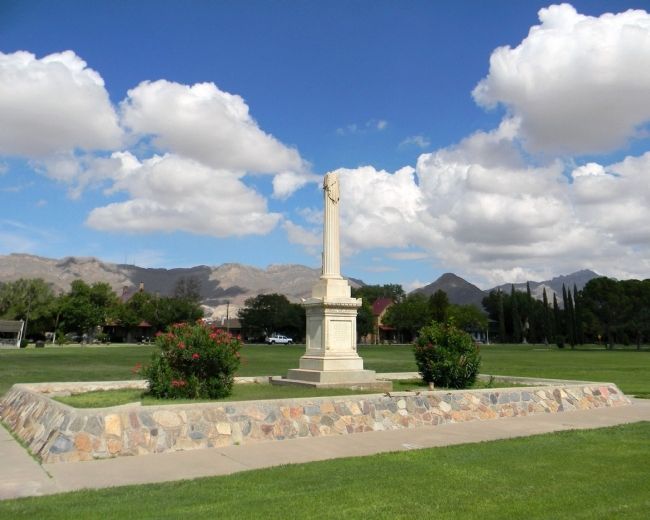
5. Lt. Col. William Wallace Smith Bliss monument
The original grave marker of Fort Bliss's namesake. Originally buried in New Orleans, he was reburied at the Fort Bliss National Cemetery in 1955. The monument was moved from the Girard Street Cemetery to the main post's parade ground.
Credits. This page was last revised on October 2, 2016. It was originally submitted on September 1, 2013, by PaulwC3 of Northern, Virginia. This page has been viewed 1,033 times since then and 104 times this year. Last updated on July 17, 2015, by J. Makali Bruton of Accra, Ghana. Photos: 1, 2. submitted on September 1, 2013, by PaulwC3 of Northern, Virginia. 3. submitted on July 15, 2015, by Bill Kirchner of Tucson, Arizona. 4, 5, 6, 7. submitted on September 1, 2013, by PaulwC3 of Northern, Virginia. • Bill Pfingsten was the editor who published this page.
