Branxton in Northumberland, England, United Kingdom — Northwestern Europe (the British Isles)
Flodden
1513
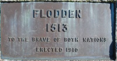
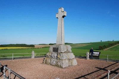
FLODDEN
1513
To The Brave Of Both Nations
Erected 1910
Erected 1910 by Members of the Berwickshire Naturalists.
Topics. This memorial is listed in this topic list: Notable Events.
Location. 55° 37.727′ N, 2° 10.594′ W. Marker is in Branxton, England, in Northumberland. To reach the Monument, park in the car park and take the trail up the hill. Touch for map. Touch for directions.
Other nearby markers. At least 1 other marker is within walking distance of this marker. After the Battle of Flodden (approx. 0.3 kilometers away).
Also see . . . Remember Flodden. (Submitted on July 24, 2015, by Brandon Fletcher of Chattanooga, Tennessee.)
Additional keywords. War of the League of Cambrai
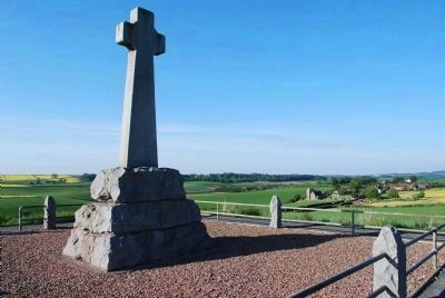
Photographed By Brandon Fletcher, June 3, 2013
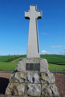
3. Battle of Flodden Monument
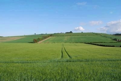
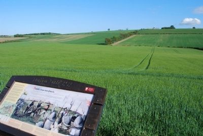
In the distance to the right, Branxton Church can be seen. It was a key landmark on the battlefield and where King James IV was taken after he was killed on the battlefield. It is said that many of the dead were buried here.
Photographed By Brandon Fletcher, June 3, 2013
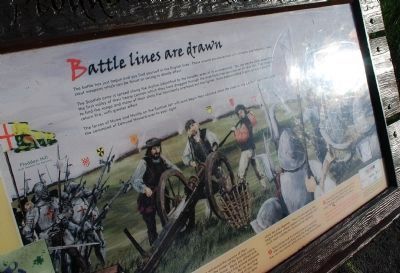
7. Battle lines are drawn
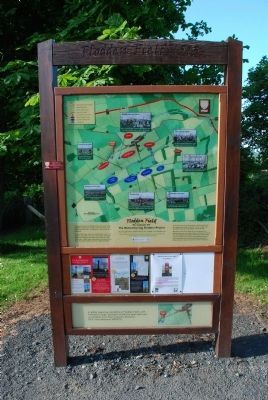
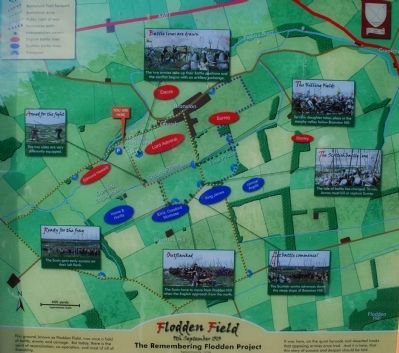
This Interpretive Marker sets next to the Flodden Memorial:
The battle has just begun and you find yourself in the English lines. Those around you are armed with billhooks and halberds- short, stout weapons which can be thrust or swung to deadly effect.
The Scottish army is spread along the skyline (identified by the heraldic arms of its commanders) You can see the white smoke from the first volley of their heavy cannon which they have dragged through the mud from their positions on Flodden Hill. They struggle to find the range and many of their shots fizz' harmlessly overhead but the lighter, more manoeuvrable English guns are about to return fire, with greater effect.
The forces of Hume and Huntly on the Scottish left will soon begin their advance down the slope to engage the English lines, under the command of Edmund Howard over to your right.
Credits. This page was last revised on January 27, 2022. It was originally submitted on July 20, 2015, by Brandon Fletcher of Chattanooga, Tennessee. This page has been viewed 388 times since then and 19 times this year. Photos: 1, 2, 3, 4, 5, 6, 7. submitted on July 20, 2015, by Brandon Fletcher of Chattanooga, Tennessee. 8, 9. submitted on July 24, 2015, by Brandon Fletcher of Chattanooga, Tennessee. 10, 11. submitted on July 20, 2015, by Brandon Fletcher of Chattanooga, Tennessee. 12. submitted on July 24, 2015, by Brandon Fletcher of Chattanooga, Tennessee. 13. submitted on August 6, 2015. • Andrew Ruppenstein was the editor who published this page.
