Cobh in County Cork, Munster, Ireland — Irish South-West ((Éire) North Atlantic Ocean)
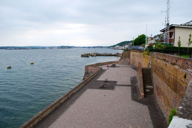
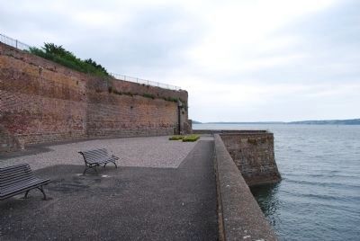
Bishop Roche Park/ Cove Fort
Páircan Easpaig De Róiste/Dún An Cóibh
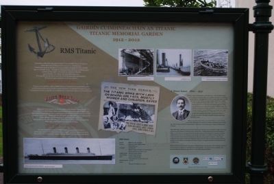
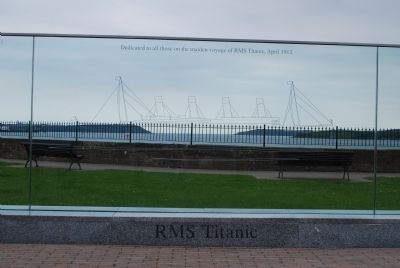
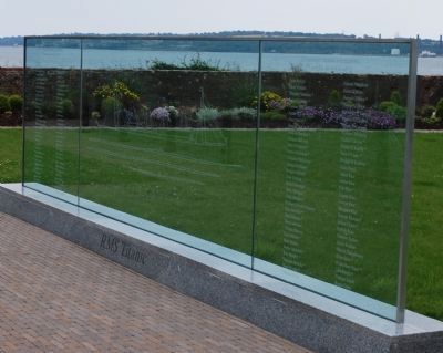
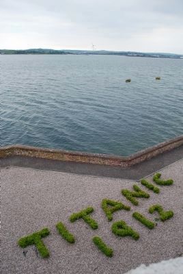
— Titanic Memorial Garden —
English:
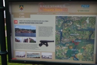
Cove Fort was built by Vice-Admiral Malcolm, the first Naval Commander of the Navy garrison in Cobh, in the mid 18th Century as a fortification for the garrison. The Fort comprised of a barracks, with 3 tiers of twenty four pounder guns beneath. During part of the 19th Century, a gun was fired daily from the battery at 12 noon G.M.T. which equated to 12.35 local time (locals called it the "25 to 1 Gun"). The British realised the strategic importance of Cork Harbour, and the Cove of Cork during the American War of Independence, and between then and the time of the war with Napoleonic France in the early 19th century. built a number of forts (Forts Westmoreland, Carlisle, and Camden) and gun emplacements throughout the the harbour to protect it.
Gaelic:
I lár an ochtú aois déag, thóg an Leasaimiréal Malcol, an chéad Cheannasaí Cabhlaigh ar gharastún Cabhlaigh an Chóibh, Dun An Cóibh mar dháingniú don gharastún. Bhí beairic sa Dún le 3 shraith de ghunaí fiche ceathar punt istigh faoi. Ar feadh piosa den naoú haois déag. scaoileadgunna go laethúil on mbataire ag a 12 meán lae G.M.T. sin 1235 am áitiúil (ghlaoigh muintir na háite an "25 to 1 Gun" air). Thuig na Briotanaigh an tabhacht straitéiseach a bhain Ie Cuan ChorcaÍ agus Ie Cuas Chorcai Ie linn Chogadh Saoirse Mheiriceá, agus idir an t-am sin agus am an chogaidh leis an bhFrainc Napoléon go luath sa 19ú aois, agus thóg siad romnt dun (Dun Westmoreland, Carlisle agus Camden) agus fosláir gunnaí ar fud an chuain chun é a chosaint.
Topics. This historical marker is listed in this topic list: Forts and Castles. A significant historical year for this entry is 1235.
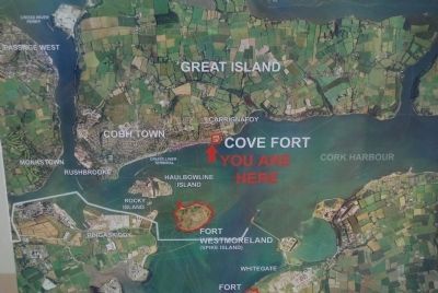
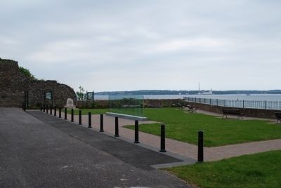
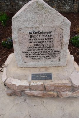
Location. 51° 51.115′ N, 8° 16.629′ W. Marker is in Cobh, Munster, in County Cork. Marker can be reached from The Mall. There are many markers located in the Bishop Roche Park/ Cove Fort including the Titanic Memorial Garden. Touch for map. Touch for directions.
Other nearby markers. At least 4 other markers are within 3 kilometers of this marker, measured as the crow flies. United States Naval Headquarters (approx. one kilometer away); S.S. Lusitania (approx. 1.2 kilometers away); Annie Moore Statue (approx. 1.5 kilometers away); Old Church Cemetery (approx. 1.9 kilometers away).
Credits. This page was last revised on June 16, 2016. It was originally submitted on July 20, 2015, by Brandon Fletcher of Chattanooga, Tennessee. This page has been viewed 348 times since then and 12 times this year. Photos: 1, 2, 3, 4, 5, 6, 7, 8, 9, 10. submitted on July 20, 2015, by Brandon Fletcher of Chattanooga, Tennessee. • Andrew Ruppenstein was the editor who published this page.
