Opelousas in St. Landry Parish, Louisiana — The American South (West South Central)
Opelousas
English:
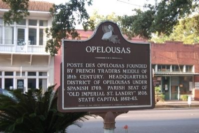
Poste des Opelousas founded by French traders middle of 18th century. Headquarters district of Opelousas under Spanish 1769. Parish seat of "Old Imperial St. Landry" 1808. State Capital 1862-1863.
French:
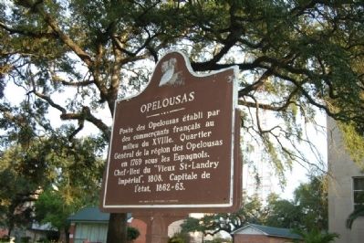
Poste des Opelousas établi par des commercants français au milieu du XVIIIe. Quartier Général de la région des Opelousas en 1769 sous les Espagnols. Chef~lieu du "Vieux St~Landry Impérial", 1808. Capitale de l'état, 1862~63.
Erected 1959 by Louisiana Department Of Commerce and Industry.
Topics. This historical marker is listed in this topic list: Settlements & Settlers. A significant historical year for this entry is 1769.
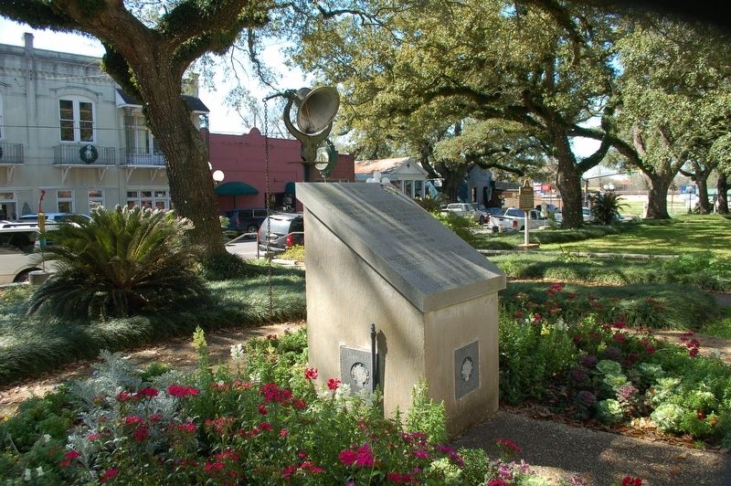
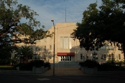
Location. 30° 31.998′ N, 92° 5.014′ W. Marker is in Opelousas, Louisiana, in St. Landry Parish. Marker is on Ronald Reagan Highway (U.S. 190) west of South Court Street, on the right when traveling west. In the Parish Courthouse square. Touch for map. Marker is in this post office area: Opelousas LA 70570, United States of America. Touch for directions.
Other nearby markers. At least 8 other markers are within walking distance of this marker. Let Freedom Ring (a few steps from this marker); a different marker also named Opelousas (within shouting distance of this marker); Jim Bowie Oak (within shouting distance of this marker); Old Federal Building (within shouting distance of this marker); Manon's Corner (within shouting distance of this marker); Old Lacombe Hotel Site (within shouting distance of this marker); Delta Theater (within shouting distance of this marker); Shute's Drug Store (within shouting distance of this marker). Touch for a list and map of all markers in Opelousas.
Credits. This page was last revised on September 3, 2023. It was originally submitted on July 21, 2015. This page has been viewed 465 times since then and 19 times this year. Photos: 1, 2. submitted on July 21, 2015. 3. submitted on February 21, 2020, by Cajun Scrambler of Assumption, Louisiana. 4. submitted on July 21, 2015. • Bernard Fisher was the editor who published this page.


