Petersburg in Dinwiddie County, Virginia — The American South (Mid-Atlantic)
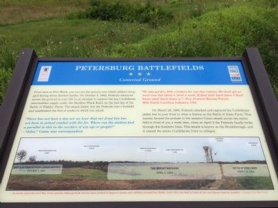
Petersburg Battlefields
Contested Ground
"There has not been a day nor an hour that out front line has not been in actual combat with the foe. Where can the student find a parallel to this in the warfare of any age or people?"—"John," Union war correspondent
"We only get five little crackers for one day rations. We don't get no meat now but about a twist a week. If that ain't hard times I don't know what hard times is."—Pvt. Francis Marion Poteeet, 49th North Carolina Infantry, CSA
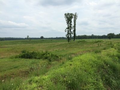
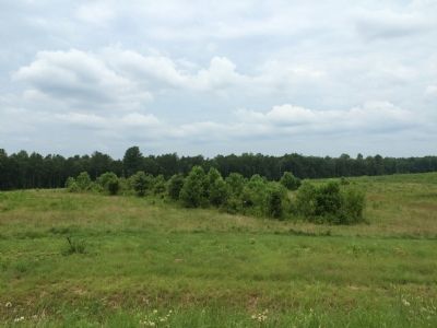
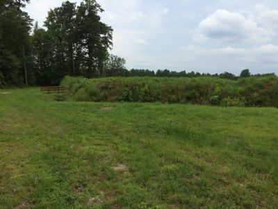
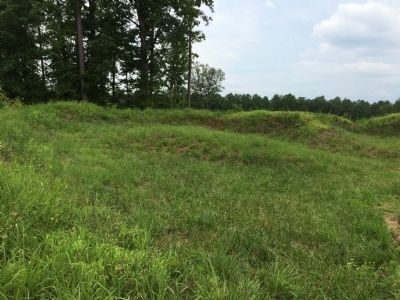
On March 25, 1865, Federals attacked and captured the Confederate picket line to your front in what is known as the Battle of Jones Farm. That success formed the prelude to the massive Union attack across the entire field in front of you a week later, when on April 2 the Federals finally broke through the Southern lines. This attack is known as the Breakthrough, and it caused the entire Confederate front to collapse.
(captions)
In recent years the Civil War Trust and the National Park Service have worked to improve access and visibility around Fort Welch. Until 2014, the field in front of you was almost entirely wooded. – Courtesy Civil War Trust
Battle of Peebles' Farm—Union Advance
October 2, 1864
The Breakthrough
April 2, 1865
Battle of Jones Farm
March 25, 1865
Main Confederate Line
1 Mile
South Side Railroad
3 Miles
Boydton Plank Road
1.5 Miles
Main Confederate Line
1 Mile
Richmond
25 Miles
Petersburg
5 Miles
Erected by Virginia Civil War Trails and the Civil War Trust.
Topics. This historical marker is listed in these topic lists: Forts and Castles • Military • War, US Civil. A significant historical month for this entry is March 1750.
Location. 37° 10.369′ N, 77° 27.608′ W. Marker is in Petersburg, Virginia, in Dinwiddie County. Marker can be reached from the intersection of Church Road (Virginia Route 627) and Flank Road, on the left when traveling north. Marker can be reached by hiking the trail located across Church Road west of Fort Fisher (Tour Stop 3 on Petersburg National Battlefield's Western Front Auto Tour). Touch for map. Marker is at or near this postal address: Church Road, Petersburg VA 23803, Petersburg VA 23803, United States of America. Touch for directions.
Other nearby markers. At least 8 other markers are within walking distance of this marker. A different marker also named Petersburg Battlefields (about 300 feet away, measured in a direct line); a different marker also named Petersburg Battlefields (about 600 feet away); a different marker also named Petersburg Battlefields (approx. 0.3 miles away); a different marker also named Petersburg Battlefields (approx. 0.3 miles away); The Largest Fort (approx. 0.4 miles away); Siege of Petersburg—Grant's Fifth Offensive (approx. 0.4 miles away); a different marker also named Petersburg Battlefields (approx. half a mile away); a different marker also named Petersburg Battlefields (approx. 0.6 miles away). Touch for a list and map of all markers in Petersburg.
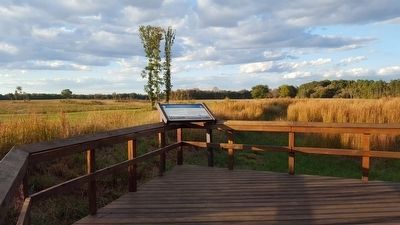
More about this marker. Marker is located on the overlook at Union Fort Welch at the end of the walking trail. Fort Welch, along with Forts Gregg, Wheaton, Fisher, Conahey, Urmston, and Battery 27, guarded the left flank of the Union Line.
Credits. This page was last revised on February 2, 2023. It was originally submitted on July 22, 2015, by Shane Oliver of Richmond, Virginia. This page has been viewed 811 times since then and 42 times this year. Photos: 1. submitted on July 22, 2015, by Shane Oliver of Richmond, Virginia. 2. submitted on October 19, 2015, by Bernard Fisher of Richmond, Virginia. 3, 4, 5, 6. submitted on July 22, 2015, by Shane Oliver of Richmond, Virginia. • Bernard Fisher was the editor who published this page.
