Belle Rose in Assumption Parish, Louisiana — The American South (West South Central)
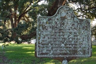
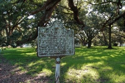
Valenzuela Dans La Fourche
Erected 1965 by Louisiana Tourist and Development Commission.
Topics. This historical marker is listed in this topic list: Settlements & Settlers. A significant historical year for this entry is 1778.
Location. 30° 3.323′ N, 91° 2.078′ W. Marker is in Belle Rose, Louisiana, in Assumption Parish. Marker is on State Highway 308, 0.2 miles south of Belle Alliance Road, on the left when traveling south. Touch for map. Marker is in this post office area: Belle Rose LA 70341, United States of America. Touch for directions.
Other nearby markers. At least 8 other markers are within 5 miles of this marker, measured as the crow flies. Israel Baptist School / Formerly Baptist Church School (approx. half a mile away); St. Emma Plantation (approx. 2 miles away); City Recreation Center (approx. 4.1 miles away); African American Life (approx. 4.1 miles away); Central Agricultural School (approx. 4.1 miles away); Bicentennial Jazz Plaza (approx. 4.1 miles away); All Roads Lead to Donaldsonville (approx. 4.1 miles away); Freedom Seekers (approx. 4.2 miles away).
Credits. This page was last revised on September 3, 2022. It was originally submitted on July 24, 2015. This page has been viewed 910 times since then and 78 times this year. Photos: 1, 2. submitted on July 24, 2015. • Bernard Fisher was the editor who published this page.

