South Park in Buffalo in Erie County, New York — The American Northeast (Mid-Atlantic)
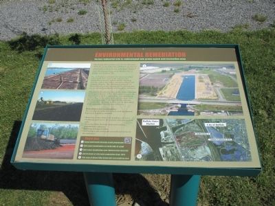
Environmental Remediation
Former Industrial Site is Redeveloped Into Green Space and Recreation Area
Prior to European settlement, the area was predominantly marsh land. Later, as the region became industrialized, the City used the land for disposing materials such as slag, cinders, demolition debris, and dredged sediments. The subsequent operations of Hanna Furnace, an iron smelting facility, contaminated the site soil and groundwater with hazardous substances.
Planning for the redevelopment of this former industrial land began in the late 1990s. These plans called for the transformation of the Canal and the land immediately surrounding it into a green space and recreation area. The physical cleanup of the larger Buffalo Lakeside Commerce Park site began in 2001 with the demolition of the remaining Hanna Furnace structures.
Remediation and Sustainability:
The remedial and park development work that created Ship Canal Commons included:
• Removing surface debris and installing a soil cover
•Stabilizing portions of the northern and eastern canal walls
•Removing debris from the canal and covering contaminated sediments
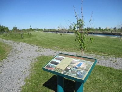
•Developing a park with multi-use trails and access to the waterfront.
Photo Key
1) Crane wall vaults become south promenade 2) Soil cover insallation on the north side of canal 3)Soil cover installation over demarcation material 4) Aerial photo of site near completion Sept. 2011 5)Site map of Union Ship Canal and surrounding area
Topics. This historical marker is listed in these topic lists: Environment • Industry & Commerce.
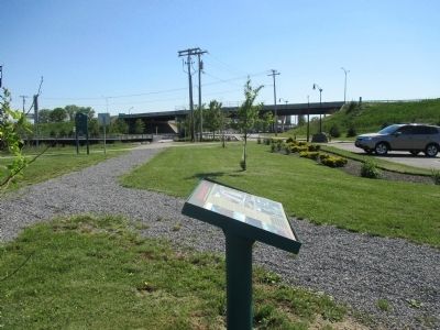
Location. 42° 50.092′ N, 78° 51.187′ W. Marker is in Buffalo, New York, in Erie County. It is in South Park. Marker is on Laborers Way, 0.1 miles north of Fuhrmann Boulevard, on the right when traveling north. Marker is by a parking area. Fuhrmann Boulevard southbound is segmented by the Union Ship Canal. Fuhrmann Boulevard bends east, ducks under Father Baker Memorial Highway (NY Route 5), and becomes Laborers Way. Touch for map. Marker is in this post office area: Buffalo NY 14203, United States of America. Touch for directions.
Other nearby markers. At least 8 other markers are within walking distance of this marker. Bethlehem Steel in Lackawanna (about 500 feet away, measured in a direct line); a different marker also named Bethlehem Steel in Lackawanna (about 500 feet away); The Lehigh Portland Cement Company (about 500 feet away); a different marker also named Bethlehem Steel in Lackawanna (about 500 feet
away); The Union Ship Canal (about 500 feet away); a different marker also named Bethlehem Steel in Lackawanna (about 500 feet away); Early Lake Erie Water Craft (about 500 feet away); Improvements in Ship Design (about 500 feet away). Touch for a list and map of all markers in Buffalo.
Credits. This page was last revised on February 16, 2023. It was originally submitted on July 25, 2015, by Anton Schwarzmueller of Wilson, New York. This page has been viewed 348 times since then and 9 times this year. Photos: 1, 2, 3, 4. submitted on July 25, 2015, by Anton Schwarzmueller of Wilson, New York.


