Falls Church, Virginia — The American South (Mid-Atlantic)
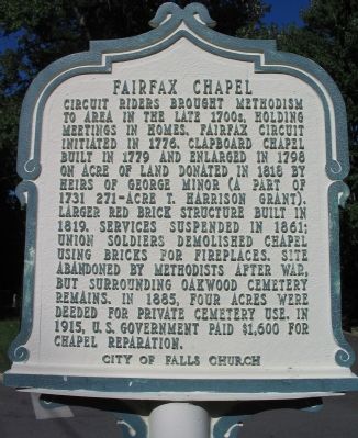
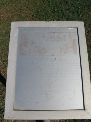
Fairfax Chapel
Erected by City of Falls Church.
Topics and series. This historical marker is listed in this topic list: Churches & Religion. In addition, it is included in the Virginia, City of Falls Church series list. A significant historical year for this entry is 1776.
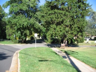
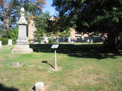
Location. 38° 52.553′ N, 77° 9.435′ W. Marker is in Falls Church, Virginia. Marker is at the intersection of North Roosevelt Street and Ridge Plaza, on the right when traveling east on North Roosevelt Street. Located at the entrance to Oakwood Cemetery. Touch for map. Marker is in this post office area: Falls Church VA 22046, United States of America. Touch for directions.
Other nearby markers. At least 8 other markers are within walking distance of this marker. Taylor’s Tavern (within shouting distance of this marker); Falls Church (about 300 feet away, measured in a direct line); a different marker also named Taylor’s Tavern (about 500 feet away); Tallwood (approx. ¼ mile away); Vietnamese Immigrants in Northern Virginia (approx. ¼ mile away); Dulin Methodist Church (approx. 0.3 miles away); Fort Buffalo (approx. 0.4 miles away); Wren’s Tavern (approx. half a mile away). Touch for a list and map of all markers in Falls Church.
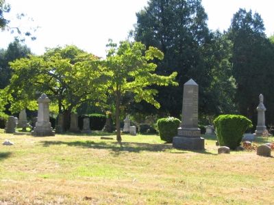
Also see . . . Photographs of Oakwood Cemetery. Comparing the photograph from 1900 to one from 2000. (Submitted on October 8, 2007, by Craig Swain of Leesburg, Virginia.)
Additional commentary.
1. Text of additional nearby Fairfax Chapel marker (Photos 3 and 5)
Caption:“Black Harry” Hosier discovered preaching to the Negroes at Fairfax Chapel.
Fairfax Chapel
This was the site of Fairfax Chapel, an early Methodist church, built ca. 1779 and began about 1773 in the William Adam´s home, 1.5 miles south. Bishop Asbury often preached here. His journal of May 13, 1781, records the first Methodist sermon by a Negro, his servant Harry Hosier. After a service in the chapel, “Harry, a black man, spoke. This circumstance was new and the white people looked on with attention.”
The chapel, rebuilt in 1819 of brick, was destroyed in 1862 by Union troops who used the bricks for chimneys in their winter quarters in nearby Ft. Buffalo (now Seven Corners). After the Civil War the congregation divided into what became Dulin and Crossman Churches.
Methodist Historical Note To Editor only visible by Contributor and editor
— Submitted July 26, 2015, by J. Makali Bruton of Accra, Ghana.
Credits. This page was last revised on October 17, 2021. It was originally submitted on October 8, 2007, by Craig Swain of Leesburg, Virginia. This page has been viewed 2,675 times since then and 54 times this year. Last updated on July 26, 2015, by J. Makali Bruton of Accra, Ghana. Photos: 1, 2, 3, 4, 5. submitted on October 8, 2007, by Craig Swain of Leesburg, Virginia. • J. J. Prats was the editor who published this page.
