Mobile in Mobile County, Alabama — The American South (East South Central)
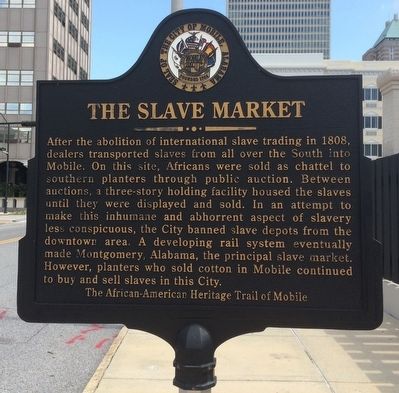
The Slave Market
After the abolition of international slave trading in 1808, dealers transported slaves from all over the South into Mobile. On this site, Africans were sold as chattel to southern planters through public auction. Between auctions, a three-story holding facility housed the slaves until they were displayed and sold. In an attempt to make this inhumane and abhorrent aspect of slavery less conspicuous, the City banned slave depots from the downtown area. A developing rail system eventually made Montgomery, Alabama, the principal slave market. However, planters who sold cotton in Mobile continued to buy and sell slaves in this City.
Erected 2009 by The African-American Heritage Trail of Mobile. (Marker Number 34.)
Topics and series. This historical marker is listed in these topic lists: African Americans • Industry & Commerce • Railroads & Streetcars. In addition, it is included in the Dora Franklin Finley African-American Heritage Trail of Mobile series list. A significant historical year for this entry is 1808.
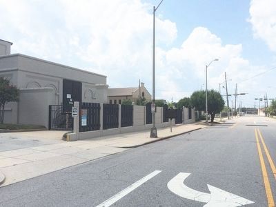
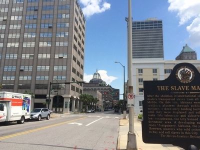
Location. 30° 41.702′ N, 88° 2.525′ W. Marker is in Mobile, Alabama, in Mobile County. Marker is on North Royal Street, 0.1 miles St Anthony Street, on the right when traveling south. Touch for map. Marker is at or near this postal address: 150 North Royal Street, Mobile AL 36602, United States of America. Touch for directions.
Other nearby markers. At least 8 other markers are within walking distance of this marker. Old Slave Markets (within shouting distance of this marker); Mobile City Limits (about 400 feet away, measured in a direct line); Judge Virgil Pittman / Wiley L. Bolden, Sr. (about 400 feet away); Site of Sixth Mobile Theatre (about 400 feet away); McGowin-Lyons (about 500 feet away); John Forbes & Co. (about 700 feet away); Merchants National Bank Building (about 700 feet away); a different marker also named Mobile City Limits (about 700 feet away). Touch for a list and map of all markers in Mobile.
Related markers. Click here for a list of markers that are related to this marker.
Credits. This page was last revised on March 21, 2022. It was originally submitted on July 27, 2015, by Mark Hilton of Montgomery, Alabama. This page has been viewed 6,848 times since then and 258 times this year. Photos: 1, 2, 3. submitted on July 27, 2015, by Mark Hilton of Montgomery, Alabama.


