Emerson in Bergen County, New Jersey — The American Northeast (Mid-Atlantic)
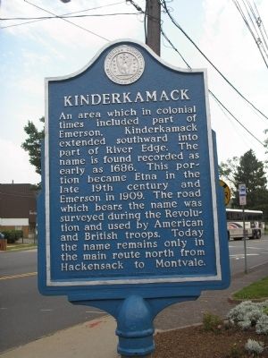
Kinderkamack
An area which in colonial times included part of Emerson, Kinderkamack extended southward into part of River Edge. The name is found recorded as early as 1686. This portion became Etna in the late 19th century and Emerson in 1909. The road which bears the name was surveyed during the Revolution and used by American and British troops. Today the name remains only in the main route north from Hackensack to Montvale.
Erected 1976 by Bergen County Historical Society. (Marker Number 70.)
Topics and series. This historical marker is listed in these topic lists: Colonial Era • Roads & Vehicles • War, US Revolutionary. In addition, it is included in the New Jersey, Bergen County Historical Society series list. A significant historical year for this entry is 1686.
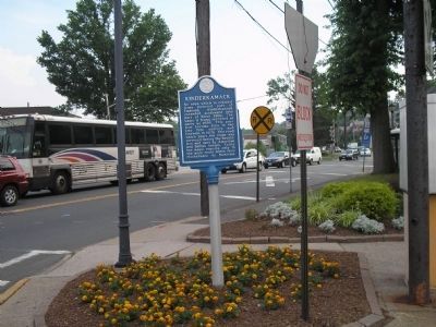
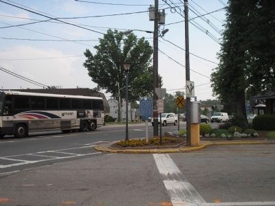
Location. 40° 58.511′ N, 74° 1.618′ W. Marker is in Emerson, New Jersey, in Bergen County. Marker is at the intersection of Kinderkamack Road (County Route 503) and Linwood Avenue, on the right when traveling south on Kinderkamack Road. Touch for map. Marker is in this post office area: Emerson NJ 07630, United States of America. Touch for directions.
Other nearby markers. At least 8 other markers are within 2 miles of this marker, measured as the crow flies. Emerson Veterans Monument (approx. ¼ mile away); Carriage House and Stables (approx. 0.7 miles away); Site of Bogert’s Mill (approx. 0.9 miles away); Soldier Hill (approx. one mile away); Westwood World War I Monument (approx. 1.1 miles away); Sgt. Ralph W. Lester (approx. 1.2 miles away); Westwood Veterans Monument (approx. 1.2 miles away); Charles A. Bellon (approx. 1.2 miles away).
Also see . . . Bergen County Historical Society. Society website homepage (Submitted on June 29, 2008, by Bill Coughlin of Woodland Park, New Jersey.)
Credits. This page was last revised on December 14, 2021. It was originally submitted on June 29, 2008, by Bill Coughlin of Woodland Park, New Jersey. This page has been viewed 3,243 times since then and 151 times this year. Photos: 1, 2, 3. submitted on June 29, 2008, by Bill Coughlin of Woodland Park, New Jersey.


