Fredericksburg, Virginia — The American South (Mid-Atlantic)
Brompton
The Battle of Fredericksburg
— Fredericksburg and Spotsylvania National Military Park —
The house and grounds are not open to the public.
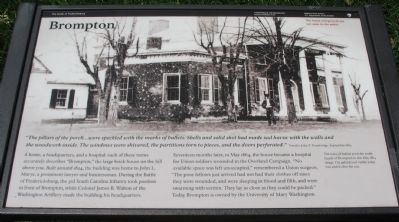
"The pillars of the porch...were speckled with the marks of bullets. Shells and shot had made sad havoc with the walls and the woodwork inside. The windows were shivered, the partitions torn to pieces, and the doors perforated."
Traveler John T. Trowbridge, September 1865
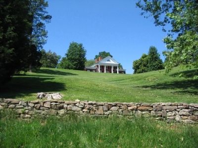
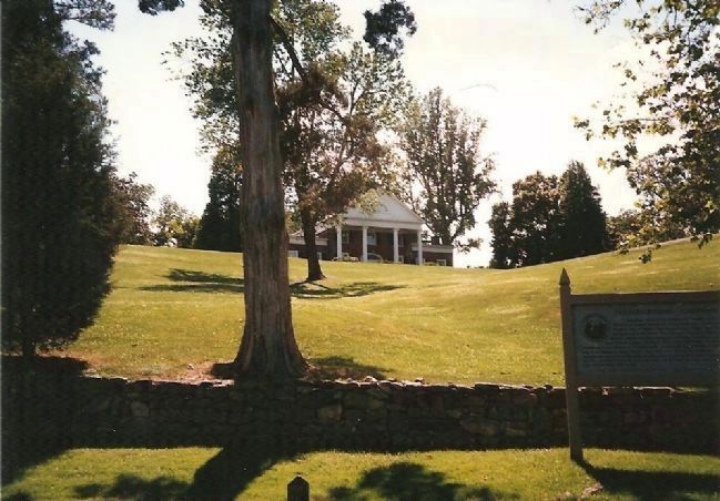
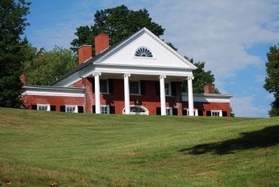
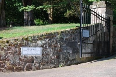
A home, a headquarters, and a hospital: each of these terms accurately describes "Brompton," the large brick house one the hill above you. Built around 1824, the building was home to John L. Marye, a prominent lawyer and businessman. During the Battle of Fredericksburg, the 3rd South Carolina Infantry took position in front of Brompton, while Colonel James B. Walton of the Washington Artillery made the building his headquarters.
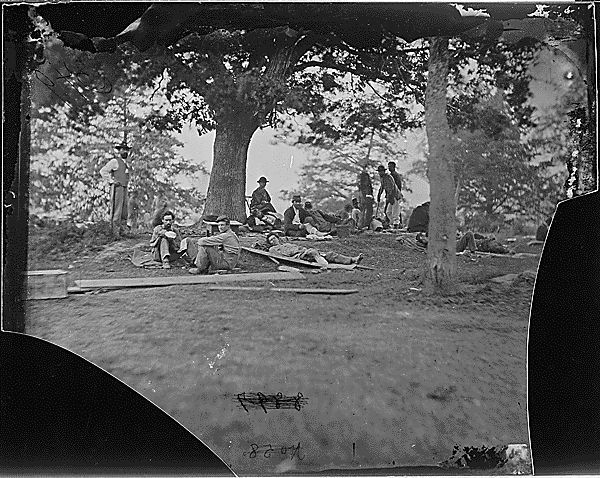
Seventeen months later, in May 1864, the house became a hospital for Union soldiers wounded in the Overland Campaign. "No available space was left unoccupied," remembered a Union surgeon. "the poor fellows just arrived had not had their clothes off since they were wounded and were sleeping in blood and filth, and were swarming with vermin. They lay as close as they could be packed." Today Brompton is owned by the University of Mary Washington.
Erected by National Park Service, U.S. Department of the Interior .
Topics. This historical marker is listed in this topic list: War, US Civil. A significant historical month for this entry is May 1864.
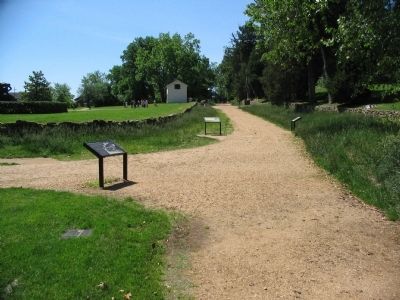
Location. 38° 17.788′ N, 77° 28.12′ W. Marker is in Fredericksburg, Virginia. Marker is at the intersection of Sunken Road and Hanover Street, on the left when traveling north on Sunken Road. Located on the Sunken Road walking trail, which starts at the Fredericksburg battlefield visitor center. The Sunken Road is closed to vehicle traffic. Touch for map. Marker is in this post office area: Fredericksburg VA 22401, United States of America. Touch for directions.
Other nearby markers. At least 8 other markers are within walking distance of this marker. The Original Wall (a few steps from this marker); The Ebert House and Store (within shouting distance of this marker); Sunken Road (within shouting distance of this marker); Kirkland Monument (within shouting distance of this marker); The "Angel of Marye's Heights" (within shouting distance of this marker); Seeking Cover (within shouting distance of this marker); The Killing Fields (within shouting distance of this marker); Innis House (about 300 feet away, measured in a direct line). Touch for a list and map of all markers in Fredericksburg.
More about this marker. The background of the marker a wartime photo of the house shows The scars of bullets pock the south facade of Brompton in
this May 1864 image. The gabled roof visible today was added after the war.
Credits. This page was last revised on February 2, 2023. It was originally submitted on June 29, 2008, by Craig Swain of Leesburg, Virginia. This page has been viewed 2,650 times since then and 72 times this year. Photos: 1, 2, 3, 4, 5. submitted on June 29, 2008, by Craig Swain of Leesburg, Virginia. 6, 7. submitted on July 26, 2015, by Brandon Fletcher of Chattanooga, Tennessee.
