Oswego in Oswego County, New York — The American Northeast (Mid-Atlantic)
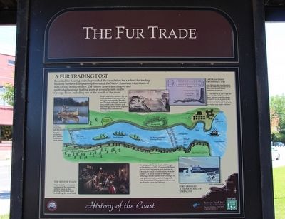
The Fur Trade
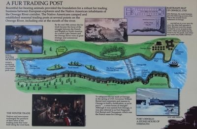
A Fur Trading Post
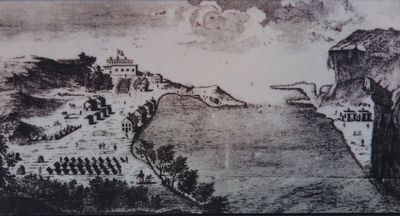
Bountiful fur-bearing animals provided the foundation for a robust fur trading business between European explorers and the Native American inhabitants of the Oswego River corridor. The Native Americans camped and established seasonal trading posts at several points on the Oswego River, including one at the mouth of the river.
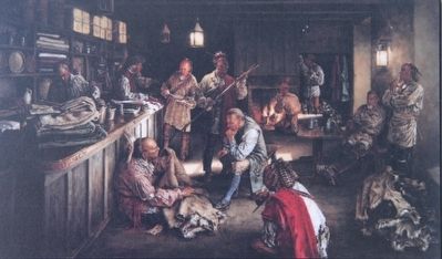
The Winter Trade
Native and newcomers exchanged the products of their labor in the trading posts that were built along the west bank.
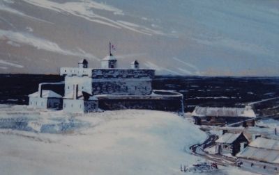
Fort Oswego: A Stone House of Strength
To safeguard the fur trade at Oswego, in the spring of 1727, Governor William Burnet sent carpenters and masons to Oswego to build a fortification, or as he put it, "... a stone house of strength." Although it was named Fort Oswego, it was also referred to as Fort Pepperell, Fort Burnet and Chouaguen, which was the French name for Oswego.
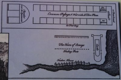
Bertram's Map of Oswego, 1743
John Bartram, the noted botanist, gave the following account of his visit to the seventy-house settlement at Oswego:
"... one-half are in a row near the river, the other half opposite to them. Between were two streets divided by a row of posts in the midst, where each Indian has his house to lay goods, and where any trader may traffic with him."
By the mid 18th century the fur trade became the focus of the struggle between the French and English in North America. As a result Lake Ontario and the Oswego River were of great strategic and commercial importance.
Erected by Seaway Trail, Inc.
Topics and series. This historical marker is listed in these topic lists: Forts and Castles • Industry & Commerce • Native Americans • Waterways & Vessels. In addition, it is included in the Great Lakes Seaway Trail National Scenic Byway series list. A significant historical year for this entry is 1727.
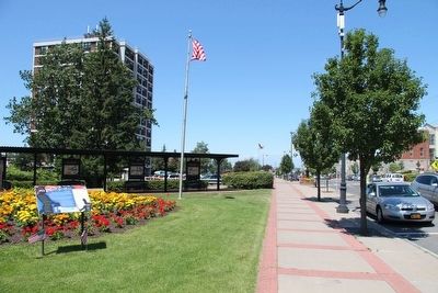
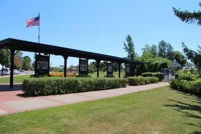
Location. 43° 27.331′ N, 76° 30.411′ W. Marker is in Oswego, New York, in Oswego County. Marker is on East 1st Street north of East Mohawk Street, on the right when traveling south. This marker is located in the downtown area, on the high ground overlooking the East side of the Oswego River, across the street from the old armory building (157 East 1st Street), along the O & W Railroad Pedestrian Promenade & Bikeway, under a canopy, with seven other Seaway Trail markers. Touch for map. Marker is in this post office area: Oswego NY 13126, United States of America. Touch for directions.
Other nearby markers. At least 8 other markers are within walking distance of this marker. War for Empire (here, next to this marker); Seaway Trail (here, next to this marker); People of the River (a few steps from this marker); Early Shipping (a few steps from this marker); Age of Iron Horses (a few steps from this marker); River Industries (a few steps from this marker); The Oswego Canal (a few steps from this marker); Bicentennial Peace Garden (a few steps from this marker). Touch for a list and map of all markers in Oswego.
Credits. This page was last revised on June 16, 2016. It was originally submitted on July 28, 2015, by Dale K. Benington of Toledo, Ohio. This page has been viewed 455 times since then and 22 times this year. Photos: 1, 2, 3, 4, 5, 6, 7, 8, 9. submitted on August 1, 2015, by Dale K. Benington of Toledo, Ohio.
