Westside North in Kansas City in Jackson County, Missouri — The American Midwest (Upper Plains)
Andrew Drips Park
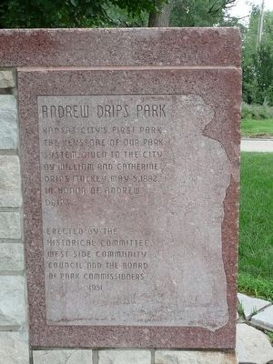
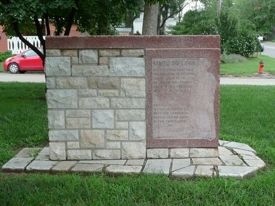
West Inscription
Kansas City's First Park, the keystone of our park system, given to the city by William and Catherine Drips Mulkey, May 5, 1882, in honor of Andrew Drips.
Erected by The Historical Committee West Side Community Council and the Board of Park Commissioners. 1951
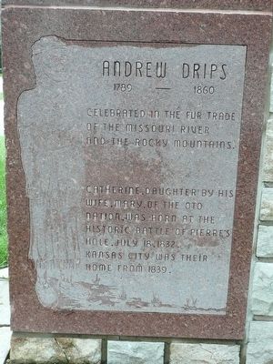
East Inscription
Andrew Drips
1789 - 1860
Celebrated in the fur trade of the Missouri River and the Rocky Mountains.
Catherine, daughter of his wife Mary, of the Oto Nation, was born at the historic battle of Pierre's Hole, July 18, 1832. Kansas City was their home from 1839.
Erected 1951 by The Historical Committee of the West Side Community Council and the Board of Park Commissioners.
Topics. This historical marker is listed in this topic list: Landmarks. A significant historical date for this entry is May 5, 1824.
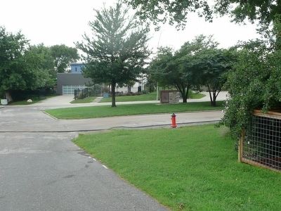
Location. 39° 5.745′ N, 94° 35.744′ W. Marker is in Kansas City, Missouri, in Jackson County. It is in Westside North. Marker is on 16th Street, on the right when traveling west. Touch for map. Marker is in this post office area: Kansas City MO 64108, United States of America. Touch for directions.
Other nearby markers. At least 8 other markers are within walking distance of this marker. The Old French Cemetery (approx. 0.4 miles away); Chouteau’s Church (St. Francis Regis) (approx. half a mile away); Lynching in America / Lynching of Levi Harrington (approx. half a mile away); Reverend Bernard Donnelly (approx. half a mile away); Kansas City (approx. half a mile away); Chez Les Canses or "Chouteau's" (approx. half a mile away); The French Bottoms - Early Day Kansas City (approx. half a mile away); Old French Kansas City (approx. half a mile away). Touch for a list and map of all markers in Kansas City.
Credits. This page was last revised on February 10, 2023. It was originally submitted on July 29, 2015, by Michael W. Kruse of Kansas City, Missouri. This page has been viewed 377 times since then and 22 times this year. Photos: 1, 2, 3, 4. submitted on July 29, 2015, by Michael W. Kruse of Kansas City, Missouri. • Bill Pfingsten was the editor who published this page.


