New Hudson in Allegany County, New York — The American Northeast (Mid-Atlantic)
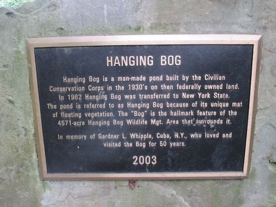
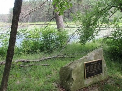
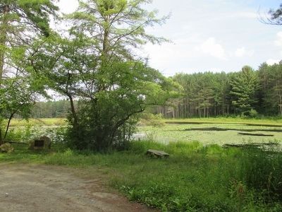
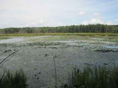
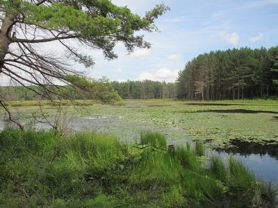
Hanging Bog
In memory of Gardner L. Whipple, Cuba, N.Y., who loved and visited the Bog for 50 years.
Erected 2003.
Topics and series. This historical marker is listed in these topic lists: Environment • Man-Made Features. In addition, it is included in the Civilian Conservation Corps (CCC) series list. A significant historical year for this entry is 1962.
Location. 42° 18.332′ N, 78° 14.998′ W. Marker is in New Hudson, New York, in Allegany County. Marker can be reached from the intersection of New Hudson Road and Briggs Road. Marker is at a parking area off New Hudson Road very near the intersection with Briggs Road. Touch for map. Marker is in this post office area: Black Creek NY 14714, United States of America. Touch for directions.
Other nearby markers. At least 8 other markers are within 8 miles of this marker, measured as the crow flies. Cuba Lake (approx. 4.6 miles away); Early School (approx. 5.3 miles away); The First Oil Well in State of New York (approx. 5.6 miles away); 1627 Seneca Oil Spring 1927 (approx. 5.9 miles away); Cuba Cemetery (approx. 5.9 miles away); Dedicated to All Veterans (approx. 6.2 miles away); Seneca Oil Spring (approx. 6.8 miles away); Caneadea Historic Camelback Bridge (approx. 7.2 miles away).
Also see . . . Hanging Bog Natural Wildlife Area - New York State Department of Environmental Conservation. (Submitted on July 31, 2015, by Anton Schwarzmueller of Wilson, New York.)
Photographed By Anton Schwarzmueller, July 19, 2015
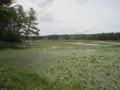
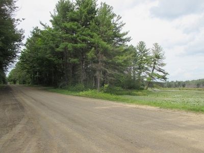
4. View from Intersection
Briggs Road is off picture to the left (note tire prints). View is northward on New Hudson Road. The Hanging Bog abuts the road here at the right. Just ahead and to the right is seen the entrance to the small parking area where the marker is located.
Credits. This page was last revised on June 16, 2016. It was originally submitted on July 31, 2015, by Anton Schwarzmueller of Wilson, New York. This page has been viewed 783 times since then and 54 times this year. Photos: 1, 2, 3, 4, 5, 6, 7. submitted on July 31, 2015, by Anton Schwarzmueller of Wilson, New York.
