Anahuac in Chambers County, Texas — The American South (West South Central)
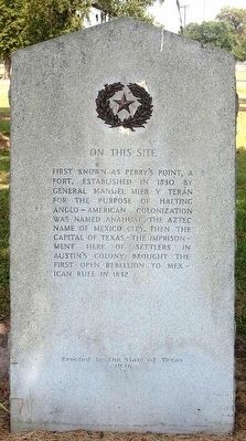
Fort Anahuac
Erected 1936 by The State of Texas. (Marker Number 9124.)
Topics and series. This historical marker is listed in these topic lists: Forts and Castles • War, Texas Independence. In addition, it is included in the Texas 1936 Centennial Markers and Monuments series list. A significant historical year for this entry is 1830.
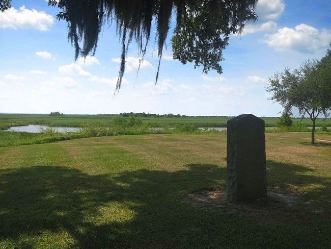
Location. 29° 45.369′ N, 94° 41.28′ W. Marker is in Anahuac, Texas, in Chambers County. Marker can be reached from Unnamed roads within the park. Marker is located within Fort Anahuac Park on the west side of the park near the boat ramp. The marker is positioned a short distance off the road. Touch for map. Marker is at or near this postal address: 1704 South Main Street, Anahuac TX 77514, United States of America. Touch for directions.
Other nearby markers. At least 8 other markers are within one mile of this marker, measured as the crow flies. A different marker also named Fort Anahuac (within shouting distance of this marker); Robert McAlpin Williamson (within shouting distance of this marker); Juan Davis Bradburn (within shouting distance of this marker); An Anchor (within shouting distance of this marker); William Barret Travis (within shouting distance of this marker); Chambers County Courthouse (approx. 0.9 miles away); The Dr. N.T. Schilling Medical Office (approx. one mile away); Chambersea (approx. one mile away). Touch for a list and map of all markers in Anahuac.
Regarding Fort Anahuac. Conflict surrounding this fort lit the fuse for the Texas War of Independence from Mexico. See "Turtle Bayou Resolutions" marker.
Also see . . .
1. The Handbook of Texas. (Submitted on August 1, 2015, by Jim Evans of Houston, Texas.)
2. From the Texas Almanac. (Submitted on August 1, 2015, by Jim Evans of Houston, Texas.)
3. From. (Submitted on August 1, 2015, by Jim Evans of Houston, Texas.)
Credits. This page was last revised on May 8, 2018. It was originally submitted on August 1, 2015, by Jim Evans of Houston, Texas. This page has been viewed 600 times since then and 38 times this year. Last updated on May 7, 2018, by Brian Anderson of Humble, Texas. Photos: 1, 2. submitted on August 1, 2015, by Jim Evans of Houston, Texas. • Bernard Fisher was the editor who published this page.

