Falkirk, Scotland, United Kingdom — Northwestern Europe (the British Isles)
Antonine Wall
Rough Castle
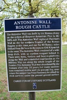
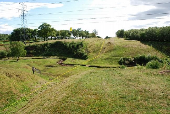
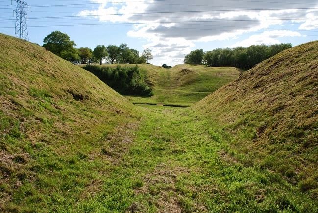
The Antonine Wall was built by the Roman Army on the orders of Emperor Antoninus Pius in the 140's AD. The Antonine Wall replaced Hadrian's Wall as the far northern frontier of the Roman Empire at this time, and ran for 40 Roman miles (60km) from Bo'ness in the east, to Old Kilpatrick in the west. The Antonine Wall consisted of a wide deep ditch, with an earthen rampart behind it. There were forts, fortlets and beacon-platforms along the Wall and a metalled road known as the Military Way ran along the whole length of the frontier. The Antonine Wall was abandoned by the Romans after only 20 years, but many sections have remained visible until the present day, even where the rampart has been flattened, the silted-up ditch survives under the present ground surface.
Topics. This historical marker is listed in these topic lists: Forts and Castles • Settlements & Settlers.
Location. 55° 59.928′ N, 3° 51.21′ W. Marker is in Falkirk, Scotland. Touch for map. Marker is in this post office area: Falkirk, Scotland FK5 3NW, United Kingdom. Touch for directions.
Other nearby markers. At least 8 other markers are within 5 kilometers of this marker, measured as the crow flies. The Roman Fort (about 180 meters away, measured in a direct line); The Northern Defences (about 210 meters away); a different marker also named The Antonine Wall (approx. 0.3 kilometers away); a different marker also named The Antonine Wall (approx. half a kilometer away); Forth & Clyde Ship Canal (approx. 0.8 kilometers away); Antonine Wall Rough Castle (approx. one kilometer away); Battle of Falkirk Muir (approx. 2.5 kilometers away); The Parish Church Graveyard (approx. 4.2 kilometers away). Touch for a list and map of all markers in Falkirk.
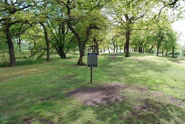
More about this marker. This marker sits on the far east end of the Antonine Rough Castle site.
Credits. This page was last revised on January 27, 2022. It was originally submitted on August 2, 2015, by Brandon Fletcher of Chattanooga, Tennessee. This page has been viewed 404 times since then and 16 times this year. Photos: 1, 2. submitted on August 2, 2015, by Brandon Fletcher of Chattanooga, Tennessee. 3, 4. submitted on August 5, 2015, by Brandon Fletcher of Chattanooga, Tennessee. • Andrew Ruppenstein was the editor who published this page.


