Fredericksburg, Virginia — The American South (Mid-Atlantic)
The Killing Fields
The Battle of Fredericksburg
— Fredericksburg and Spotsylvania National Military Park —
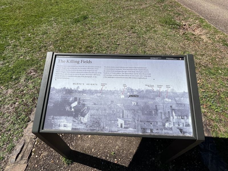
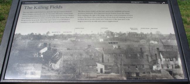
This view, taken a mile behind you, shows the vast open space in front of Marye's Heights only months after the December 1862 battle. Union troops crossed the plain between the town (in the foreground) and Marye's Heights. Some attackers advanced to within about 80 yards of the Sunken Road, and a few got as close as 40 yards. More than 7,500 Union troops fell killed or wounded in the span of the photograph, on the ground just behind you.
The photograph shows clearly both the stark nature of the battlefield and several prominent landmarks. Most important was the Stratton House, the solitary brick building at the right of the image, which gave cover to hundreds of Union soldiers. The Marye House and the Innis House (both still standing), as well as the Ebert House are also clearly seen. Today most of the open space in the image is covered by an early 20th-century neighborhood.
Erected by National Park Service, U.S. Department of the Interior.
Topics. This historical marker is listed in this topic list: War, US Civil. A significant historical month for this entry is December 1862.
Location. 38° 17.761′ N, 77° 28.086′ W. Marker is in Fredericksburg, Virginia. Marker is at the intersection of Sunken Road and Kirkland Street, on the right when traveling south on Sunken Road. Located on the Sunken Road walking trail, which starts at the Fredericksburg battlefield visitor center. The Sunken Road is closed to vehicle traffic. Touch for map. Marker is in this post office area: Fredericksburg VA 22401, United States of America. Touch for directions.
Other nearby markers. At least 8 other markers are within walking distance of this marker. Seeking Cover (here, next to this marker); The "Angel of Marye's Heights" (a few steps from this marker); Innis House (within shouting distance of this marker); Kirkland Monument (within shouting distance of this marker); Stephens Family Cemetery (within shouting distance of this marker); Sunken Road (within shouting distance of this marker); Brompton (within shouting distance of this marker); The Stephens House (within shouting distance of this marker). Touch for a list and map of all markers in Fredericksburg.
More about this marker. The wartime photo has several important locations annotated - the Sunken Road, fairgrounds, Stephens House,Innis House, Marye House (Brompton), Stratton House, and Ebert House. The location of the marker is indicated just below the Innis House.
Also see . . . Sunken Road Tour. A virtual tour of the Sunken Road and vicinity. (Submitted on June 29, 2008, by Craig Swain of Leesburg, Virginia.)

Photographed By Devry Becker Jones (CC0), March 4, 2023
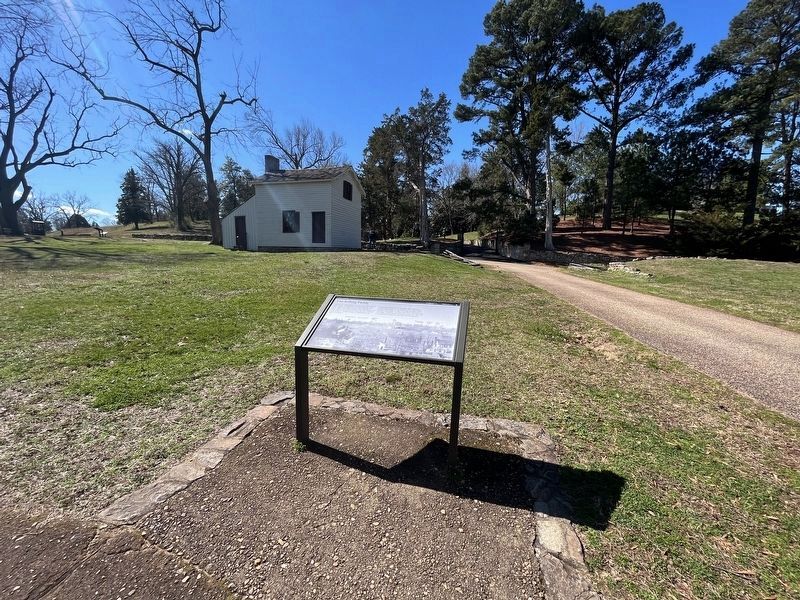
3. The Killing Fields Marker with the Innis House in the background
Credits. This page was last revised on March 5, 2023. It was originally submitted on June 29, 2008, by Craig Swain of Leesburg, Virginia. This page has been viewed 2,496 times since then and 32 times this year. Photos: 1. submitted on March 5, 2023, by Devry Becker Jones of Washington, District of Columbia. 2. submitted on June 29, 2008, by Craig Swain of Leesburg, Virginia. 3. submitted on March 5, 2023, by Devry Becker Jones of Washington, District of Columbia.

