Gothenburg in Dawson County, Nebraska — The American Midwest (Upper Plains)
The Road to Zion
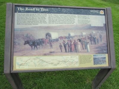
From the late 1840s through the 1860s, an exodus of more than 70,000 Mormons passed by here on their way to their “New Zion” in Utah. Starting from Nauvoo, Illinois in February 1846, the first group of at least 13,000 Mormons crossed into Iowa to escape religious persecution, then spent the next winter in the area of present-day Council Bluffs, Iowa and Omaha, Nebraska.
In 1847, Brigham Young led an advance party of 143 men, 2 women, and 3 children along the Platte River. At Fort Bridger, Wyoming they departed from the Oregon Trail to head southwest to the Great Salt Lake. Thousands of other Mormons soon followed. Today, a marked 1,624-mile auto tour route closely parallels their historic trek.
Erected by National Park Service, U.S. Department of the Interior.
Topics and series. This historical marker is listed in these topic lists: Churches & Religion • Roads & Vehicles • Settlements & Settlers. In addition, it is included in the Mormon Pioneer Trail series list. A significant historical month for this entry is February 1846.
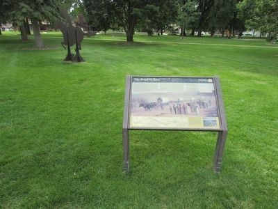
Location. 40° 55.992′ N, 100° 9.574′ W. Marker is in Gothenburg, Nebraska, in Dawson County. Marker is on 15th Street, on the left when traveling east. Marker is located on 15th Street between Avenue E and Avenue F. Touch for map. Marker is in this post office area: Gothenburg NE 69138, United States of America. Touch for directions.
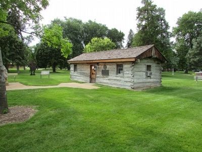
Other nearby markers. At least 5 other markers are within 11 miles of this marker, measured as the crow flies. The Pony Express (here, next to this marker); Original Pony Express Station (a few steps from this marker); Dissected Loess Plains (a few steps from this marker); Swedish Crosses Cemetery (approx. 3.7 miles away); The 100th Meridian (approx. 10½ miles away).
More about this marker. Several pictures appear on the marker. A photo of diary pages include the caption “Many Mormon emigrants wrote diaries to describe their experiences. Appleton Harmon wrote his journal (right) in 1847.” A large picture taking up most of the marker has a caption of “After arriving, the Mormon pioneers set up communities and ferry crossings along the trail to assist later wagon trains going to and from Utah (below).” A map at the bottom of the marker shows the route taken by the Mormons from Missouri to Utah. A picture to the right of the map contains the text “From 1856-60, many European converts walked more than 1,200 miles to Salk Lake City pushing and pulling handcarts (right) loaded with 500 pounds of supplies. After 1860, the Mormon church sponsored oxen-driven wagons to bring emigrants to the “New Zion.”
Credits. This page was last revised on September 7, 2021. It was originally submitted on August 6, 2015, by Bill Coughlin of Woodland Park, New Jersey. This page has been viewed 438 times since then and 11 times this year. Photos: 1, 2, 3. submitted on August 6, 2015, by Bill Coughlin of Woodland Park, New Jersey.


