Odessa in Ector County, Texas — The American South (West South Central)
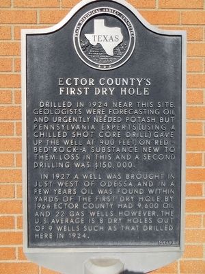
Ector County's First Dry Hole
In 1927 a well was brought in just west of Odessa, and in a few years oil was found within yards of the first dry hole. By 1964 Ector County had 9,600 oil and 22 gas wells. However, the U.S. average is 8 dry holes out of 9 wells such as that drilled here in 1924.
Erected 1965 by State Historical Survey Committee. (Marker Number 1384.)
Topics. This historical marker is listed in this topic list: Industry & Commerce. A significant historical year for this entry is 1924.
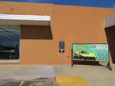
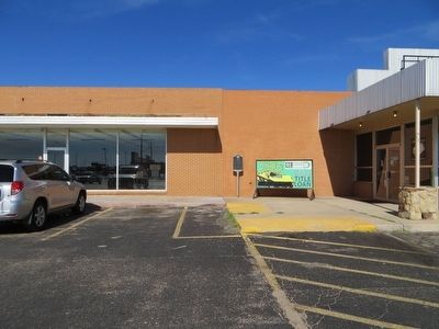
Location. 31° 51.724′ N, 102° 20.802′ W. Marker is in Odessa, Texas, in Ector County. Marker is on North Grandview Avenue, on the right when traveling south. Marker is facing East at a small strip center. Touch for map. Marker is at or near this postal address: 911 N Grandview Ave, Odessa TX 79761, United States of America. Touch for directions.
Other nearby markers. At least 8 other markers are within 2 miles of this marker, measured as the crow flies. Site of Homestead of William C. Sublett (approx. 0.4 miles away); Temple Beth El (approx. 0.4 miles away); Sewell Ford (approx. 0.6 miles away); The Parker Family (approx. 0.8 miles away); Site of Blackshear High School (approx. 1.4 miles away); Ector County Newspapers (approx. 1˝ miles away); Odessa Petrochemical Complex (approx. 1.6 miles away); Earl George Rodman, Sr. and William Douglas Noel (approx. 1.6 miles away). Touch for a list and map of all markers in Odessa.
Credits. This page was last revised on June 16, 2016. It was originally submitted on August 8, 2015, by Bill Kirchner of Tucson, Arizona. This page has been viewed 457 times since then and 21 times this year. Photos: 1, 2, 3. submitted on August 8, 2015, by Bill Kirchner of Tucson, Arizona.


