New Bedford in Bristol County, Massachusetts — The American Northeast (New England)
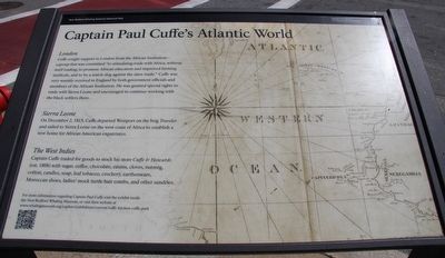
Captain Paul Cuffe's Atlantic World
London
Cuffe sought support in London from the African Institution - a group that was committed "to stimulating trade with Africa, without itself trading, to promote African education and improved farming methods, and to be a watch-dog against the slave trade." Cuffe was very warmly received in England by both government officials and members of the African Institution. He was granted special rights to trade with Sierra Leone and encouraged to continue working with the black settlers there.
Sierra Leone
On December 2, 1815, Cuffe departed Westport on the brig Traveler and sailed to Sierra Leone on the west coast of Africa to establish a new home for African American expatriates.
The West Indies
Captain Cuffe traded for goods to stock his store Cuffe & Howards (established 1808) with sugar, coffee, chocolate, raisins, cloves, nutmeg, cotton, candles, soap, leaf tobacco, crockery, earthenware, Moroccan shoes, ladies' mock turtle hair combs, and other sundries.
For more information regarding Captain Paul Cuffe visit the exhibit inside the New Bedford Whaling Museum, or visit their website at www.whalingmuseum.org/explore/exhibitions/current/cuffe-kitchen-cuffe-park
Erected by National Parks Service, Department of the Interior.
Topics. This historical marker is listed in these topic lists: Abolition & Underground RR • Industry & Commerce • Settlements & Settlers. A significant historical month for this entry is December 1936.
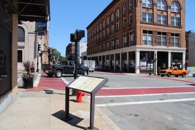
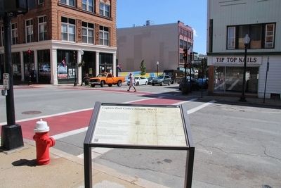
Location. 41° 38.038′ N, 70° 55.611′ W. Marker is in New Bedford, Massachusetts, in Bristol County. Marker is on Pleasant Street south of Union Street, on the left when traveling north. This marker is located in the downtown business district, near the southwest corner of the intersection. Touch for map. Marker is in this post office area: New Bedford MA 02740, United States of America. Touch for directions.
Other nearby markers. At least 8 other markers are within walking distance of this marker. Lewis Temple (about 400 feet away, measured in a direct line); Trading Places (about 400 feet away); Whaleman’s Memorial (about 400 feet away); Frederick Douglass (about 500 feet away); Nathan and Mary (Polly) Johnson House (about 600 feet away); Heroes of Fort Wagner (about 800 feet away); Civil War’s First Black Regiment (approx. 0.2 miles away); U.S. Custom House-Customary Duty (approx. 0.2 miles away). Touch for a list and map of all markers in New Bedford.
Photographed By Dale K. Benington, July 31, 2015
2. Captain Paul Cuffe's Atlantic World Marker
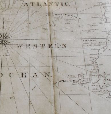
Close-up view, that is displayed on the marker, of a photograph (used as the background picture for the marker), showing an era related map of the Atlantic Ocean that someone like Captain Cuffe might have used when sailing from New England to Africa.
Credits. This page was last revised on June 16, 2016. It was originally submitted on August 9, 2015, by Dale K. Benington of Toledo, Ohio. This page has been viewed 327 times since then and 14 times this year. Photos: 1, 2, 3, 4, 5. submitted on August 10, 2015, by Dale K. Benington of Toledo, Ohio.
