Thermopolis in Hot Springs County, Wyoming — The American West (Mountains)
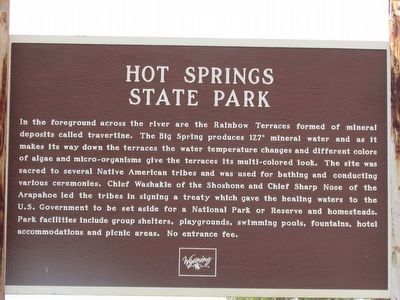
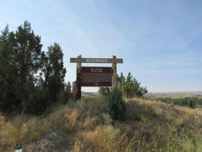
Hot Springs State Park
Wyoming
In the foreground across the river are the Rainbow Terraces formed of mineral deposits called travertine. The Big Spring produces 127° mineral water and as it makes its way down the terraces the water temperature changes and different colors of algae and micro-organisms give the terraces its multi-colored look. The site was sacred to several Native American tribes and was used for bathing and conducting various ceremonies. Chief Washakie of the Shoshone and Chief Sharp Nose of the Arapahoe led the tribes in signing a treaty which gave the healing waters to the U.S. Government to be set aside for a National Park or Reserve and homesteads. Park facilities include group shelters, playgrounds, swimming pools, fountains, hotel accommodations and picnic areas. No entrance fee.
Topics. This historical marker is listed in these topic lists: Native Americans • Natural Features.
Location. 43° 39.386′ N, 108° 11.893′ W. Marker is in Thermopolis, Wyoming, in Hot Springs County. Marker is on U.S. 20, on the left when traveling east. Touch for map. Marker is in this post office area: Thermopolis WY 82443, United States of America. Touch for directions.
Other nearby markers. At least 8 other markers are within walking distance of this marker. Ancient Red Rocks (about 500 feet away, measured in a direct line); 1916 Swinging Bridge (approx. 0.2 miles away); Some Like It Hot! (approx. 0.2 miles away); Geology of Hot Springs (approx. 0.2 miles away); Washakie's Bath House (approx. 0.2 miles away); "The Hot Springs" (approx. 0.2 miles away); Healing Waters (approx. ¼ mile away); Tepee Fountain (approx. 0.3 miles away). Touch for a list and map of all markers in Thermopolis.
Credits. This page was last revised on June 16, 2016. It was originally submitted on August 9, 2015, by Bill Coughlin of Woodland Park, New Jersey. This page has been viewed 413 times since then and 13 times this year. Photos: 1, 2, 3, 4. submitted on August 9, 2015, by Bill Coughlin of Woodland Park, New Jersey.


